SCDES BCM has direct permitting authority over the critical areas of the state pursuant to statutory and regulatory provisions in the SC Coastal Tidelands and Wetlands Act and SC Coastal Division Regulations. Explore South Carolina’s four critical areas below.
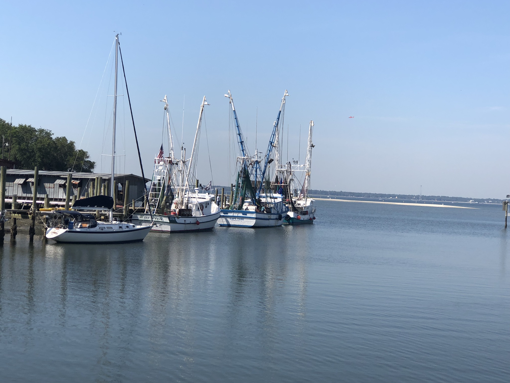
The navigable waters of the United States subject to the ebb and flood of the tide and which are saline waters, shoreward to their mean high-water mark.
Photo Credit: Shannon Conklin
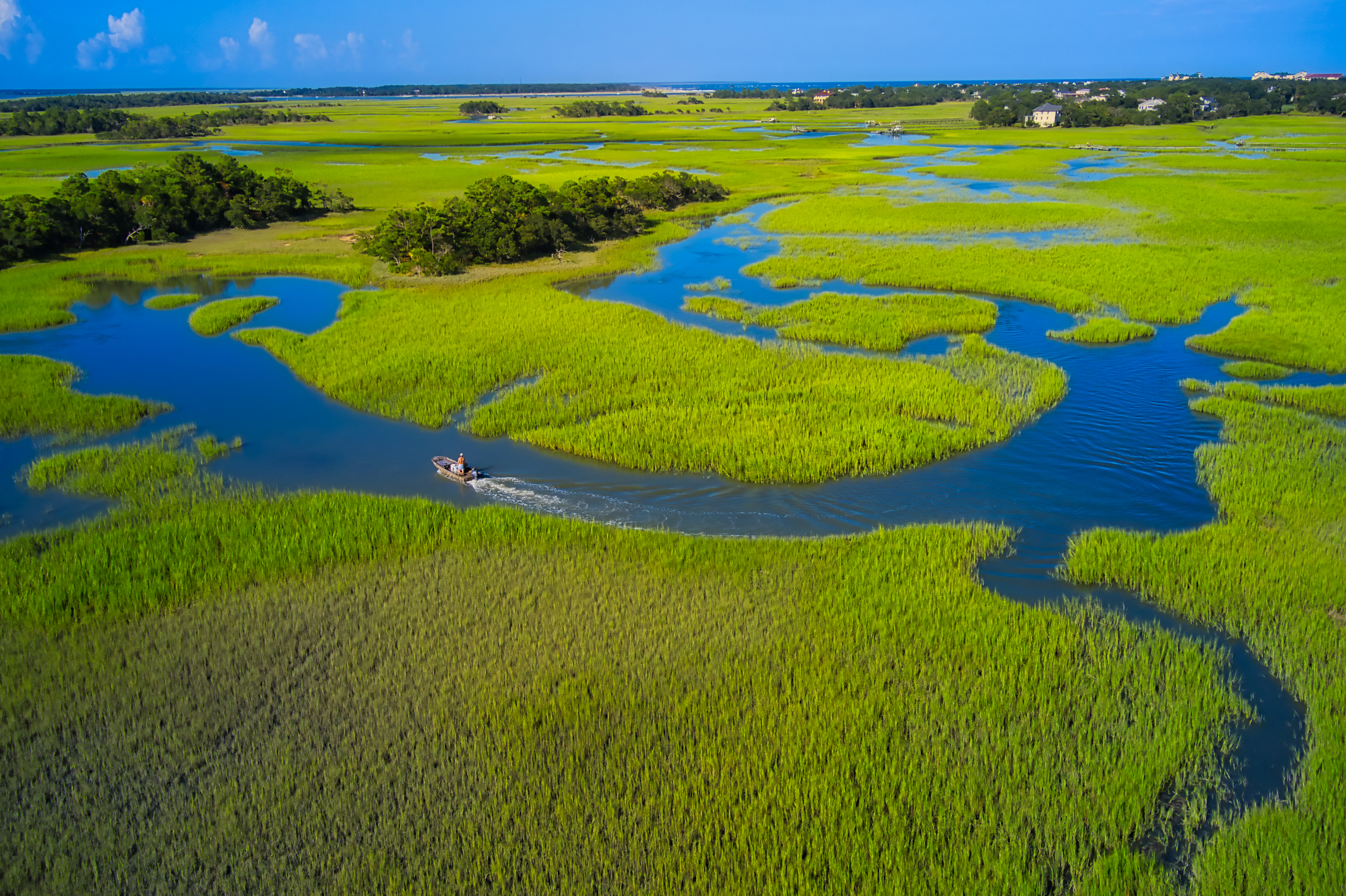 All areas which are at or below mean high tide and coastal wetlands, mudflats, and similar areas that are contiguous or adjacent to coastal waters and are an integral part of the estuarine systems involved. Coastal wetlands include marshes, mudflats, and shallows and means those areas periodically inundated by saline waters whether or not the saline waters reach the area naturally or through artificial water courses and those areas that are normally characterized by the prevalence of saline water vegetation capable of growth and reproduction.
Photo Credit: Thomas Cochran
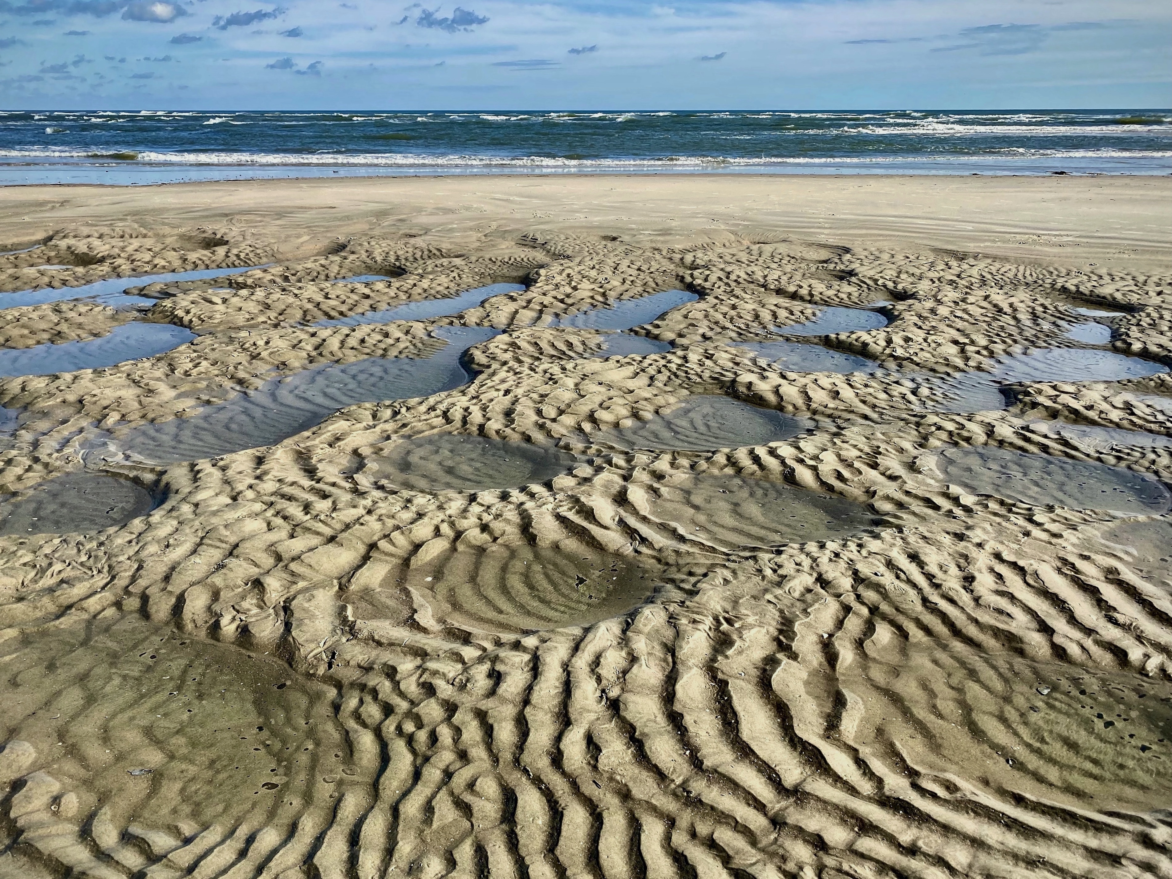 Those lands subject to periodic inundation by tidal and wave action so that no nonlittoral vegetation is established.
Photo Credit: Ginger White
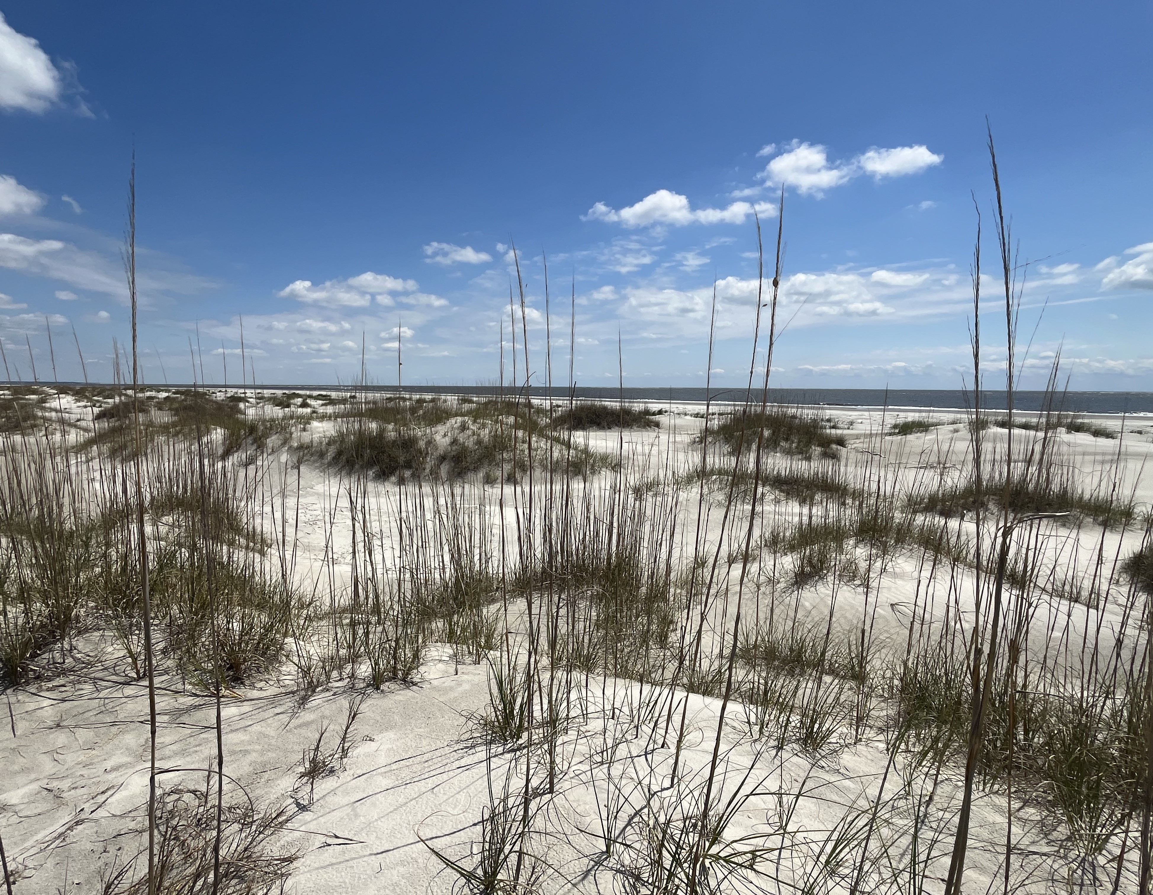
All land from the mean high-water mark of the Atlantic Ocean landward to the 40-year setback line described in the South Carolina Code of Laws, in Section 48–39–280.
Photo Credit: SCDES