

Back to All Blogs
Back to All Blogs
SCDES Celebrates National Estuaries Week 2026
Friday, Sep 18, 2026
This week, the South Carolina Department of Environmental Services (SCDES) is celebrating National Estuaries Week, a nationwide celebration of estuarine ecosystems and the benefits they provide to local communities. National Estuaries Week is an excellent opportunity to learn more about estuaries and the perfect excuse to spend some time on your favorite creek, river or coastal waterway!
What is an Estuary?
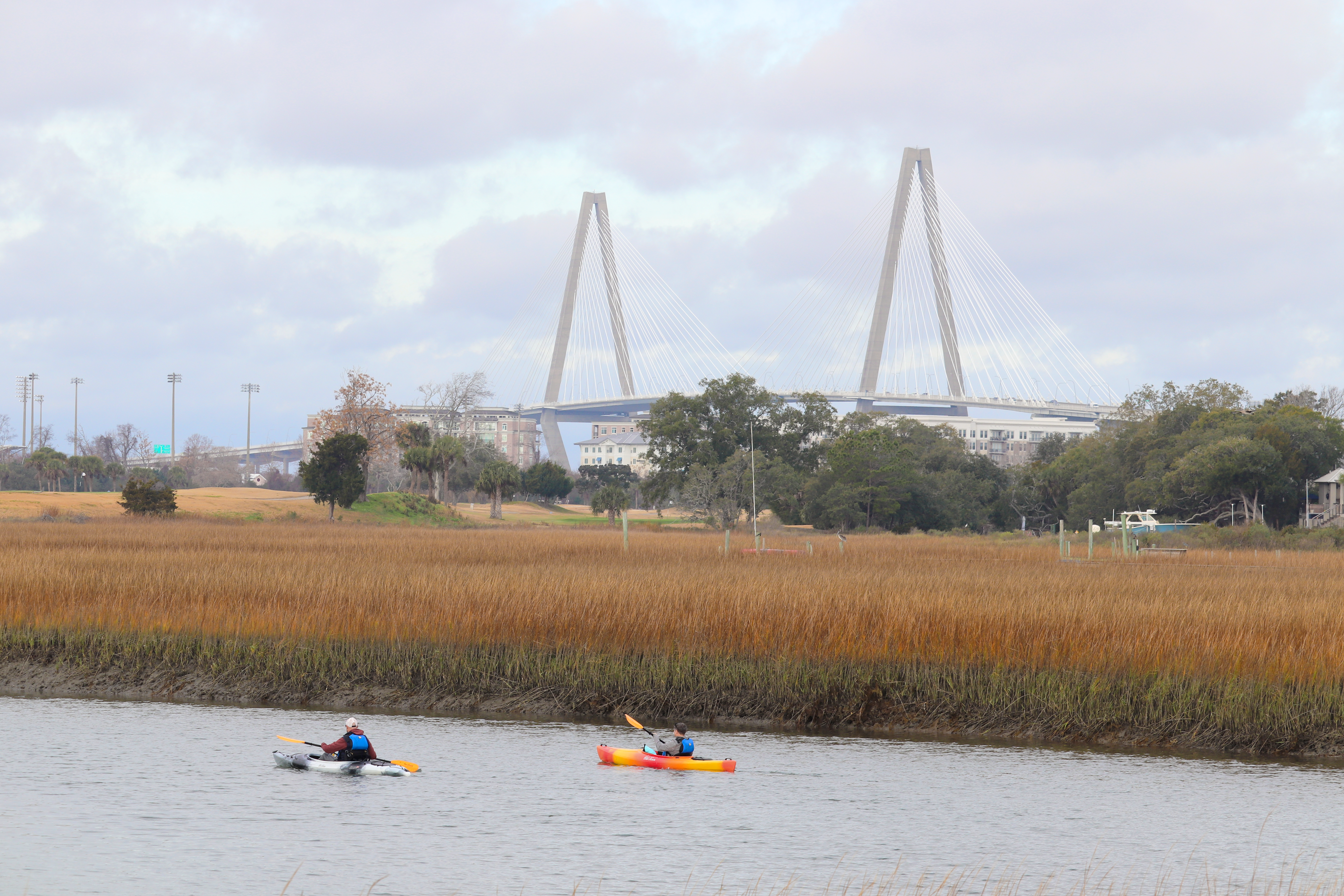 Estuaries are bodies of water usually found where rivers meet the sea. Estuaries are home to unique plant and animal species that have adapted to a brackish water environment where freshwater and saltwater mix. Estuaries are among the most productive ecosystems in the world and many animals rely on them for food, breeding and migration. Strong currents run through estuaries, bringing fresh nutrients from the upland and the ocean. Estuaries are often called the “nurseries of the sea”, because so many animals, including recreationally and commercially important species, reproduce and spend the early part of their lives there.
How SCDES Protects Estuaries
SCDES’s Bureau of Coastal Management (BCM) protects estuarine environments through its implementation of the South Carolina Coastal Zone Management Program with the goal of achieving balance between the appropriate use, development and conservation of coastal resources in the best interest of all citizens of the state.
The South Carolina Coastal Zone Management Program was established under the guidelines of the national Coastal Zone Management Act (1972) as a state-federal partnership and was authorized in 1977 under SC’s Coastal Tidelands and Wetlands Act. Implementation of the program includes the direct regulation of impacts to coastal resources within the critical areas of the state including Coastal Waters, Tidelands, Beaches and Beach/Dune Systems; and indirect certification authority over federal actions and state permit decisions within the eight-county Coastal Zone. SCDES BCM’s statutory and regulatory authorities are defined within the South Carolina Coastal Tidelands and Wetlands Act and the state’s Coastal Division Regulations.
 SCDES BCM’s Critical Area Permitting Division (CAP) reviews proposed alterations to the Coastal Waters and Tidelands critical areas to ensure they are consistent with the SC Coastal Tidelands and Wetlands Act, SC Coastal Division Regulations, and the policies of the South Carolina Coastal Management Program. Activities within the Coastal Waters and Tidelands critical areas that are reviewed by the Critical Area Permitting Section include but are not limited to: docks, bulkheads, revetments, marinas, mooring fields, boat ramps, living shorelines, mariculture, water treatment systems, piers, cables, pipelines, transmission lines, dredging, and access to coastal islands.
Living Shorelines for Estuarine Shoreline Stabilization
 A living shoreline is a shoreline stabilization approach utilized in intertidal wetland environments that maintains, restores, and/or enhances natural estuarine processes through the strategic placement of native vegetation and/or use of green infrastructure.
Living shorelines are encouraged as an alternative to traditional hardened erosion control structures in estuarine environments because they provide an environmental benefit and reduce the environmental impacts associated with hardened structures. Living shoreline methods involve planting of native vegetation and/or the installation of other green infrastructure. Green infrastructure includes softer approaches to protecting estuarine shorelines and consists of materials that promote growth of native biological components and maintain continuity of the natural land-water interface. Living shoreline installations require an individual critical area permit from SCDES BCM.
Oyster Reef Mapping
 South Carolina’s intertidal zone supports nearly 350,000 acres of salt marsh connected to nearly 5,000 acres of intertidal oyster reefs along our wetland coastline, creating an expansive habitat that is physically and economically critical to the region. This habitat provides for culturally and economically important commercial and recreational species, buffers storms and erosion, filters sediment and pollutants to improve water quality, provides aesthetic and recreational value, bolsters a strong coastal tourism economy, and supports a nearly $25M annual seafood industry.
SCDES BCM’s Coastal Zone Consistency (CZC) and Critical Area Permitting (CAP) divisions assess development impacts to state wetland resources, including oysters. To support science-based decisions, CZC staff require accurate shellfish data including location, size, and distribution of oyster reefs at a landscape scale. An accurate shellfish layer is also an essential dataset for CAP staff when reviewing critical area permit applications, including those for living shorelines. To better support regulatory decision-making, SCDES BCM is pursuing a multi-year strategy that includes review of existing, and collection of new, low tide aerial imagery. Low tide aerial imagery will be used to refine the state’s oyster reef data layer, which was originally developed approximately 20 years ago.
How You Can Help Protect Estuaries in South Carolina
Small actions can make a big difference in preserving our estuaries for future generations Below are some ways you can help:
- Report any Abandoned or Derelict Vessels (ADVs). Use the MyCoast SC App to report ADVs, which harm our coastal resources.
- Adopt-A-Beach. Join a community clean up along your local beachfront.
- Reduce plastic waste. Bring reusable water bottles, bags and containers whenever possible, and pack up everything you bring with you.
- Consider Soft Solutions. When thinking about erosion control, consider a living shoreline before hard armoring.