
South Carolina has many springs which serve as important indicators of groundwater health and hold historical significance to its citizens. 

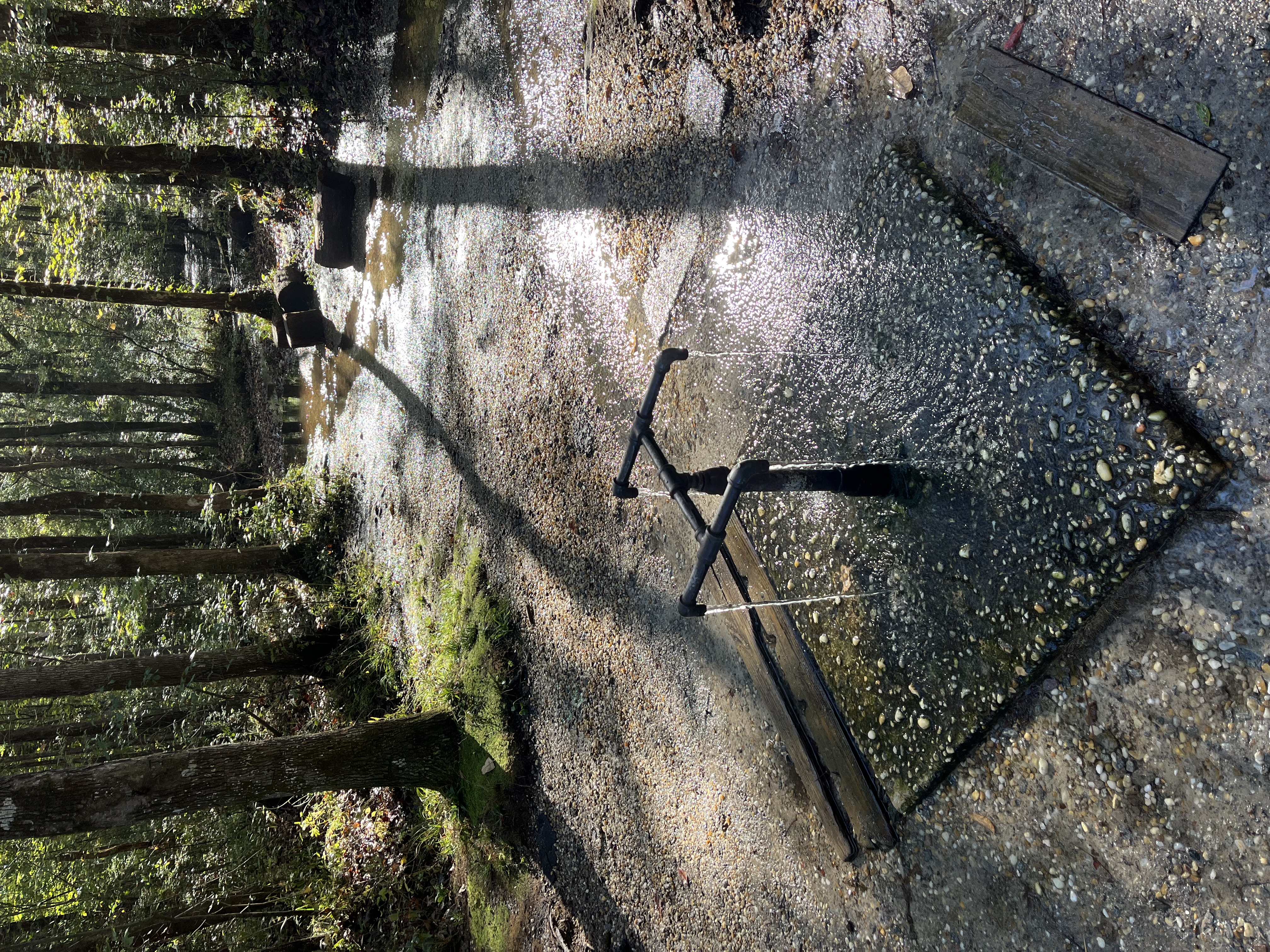
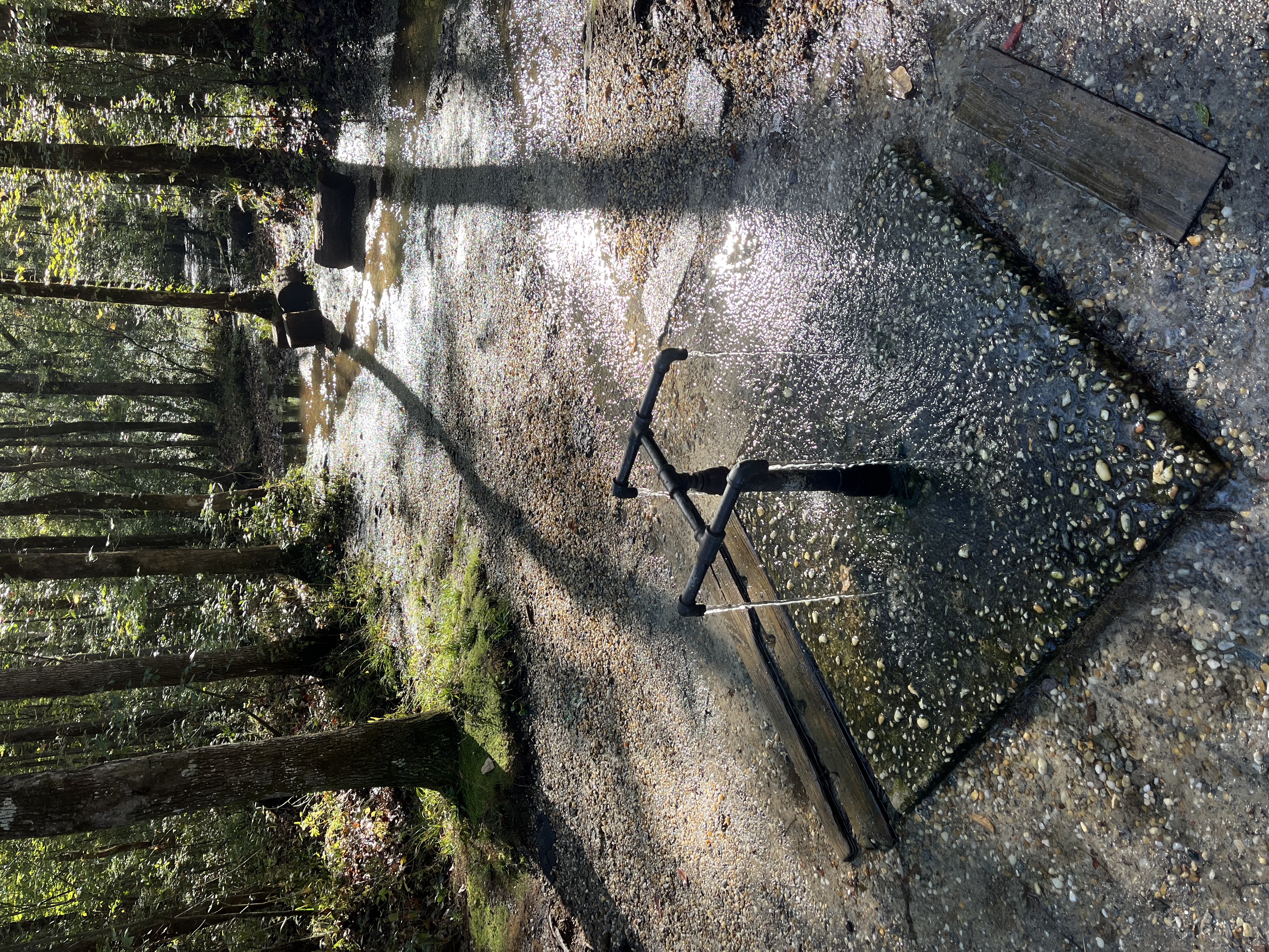
Overview Metal pipes at Healing Springs in Blackville, South Carolina shows water flowing out onto a concrete pad with trees behind
Springs naturally flow to the surface and can have a pipe added to them to access the water more easily. Springs of most interest are those that flow out of rock or the ground in amounts that are useful or noticeable. H. Lee Mitchell of the SCDNR located and researched 458 springs across South Carolina during the 1990s and 2000s, with particular interest in the history of springs. This work was the first and most expansive study of South Carolina's springs and served as the basis for another study undertaken from Fall 2025 to Summer 2026, which focused on spring water quality for a subset of Mitchell's original sites. 


Springs come in four main types:

  • Depression springs

  • Contact springs

  • Fault springs

  • Sinkhole (or solution) springs

A handout with figures of the four spring types with additional information can be downloaded here. 

The type of sediment in an area affects the type of spring that one would find. For example, depression springs are found where there is a depression in the permeable land surface that intersects the water table, then a spring forms. A contact spring forms where water from an aquifer meets an impermeable layer, such as clay, and flows out at the surface. Fault springs, which can be hot or cold in temperature, occur when water flows from the aquifer through a fracture to the land surface. If the aquifer has an underlying magma chamber, the water will heat up and any flowing water at the surface could form a hot spring. Lastly, sinkhole (or solution) springs occur when water that naturally moves through the ground dissolves minerals (for example limestone) and forms solution cavities. If the land surface collapses above a solution cavity, this forms a sinkhole and where the water meets the surface, a spring is formed (Mitchell 2004).

Reports

2025-2026 South Carolina Springs Assessment, Modzelesky, et. al. 2026

Springs of South Carolina, Mitchell. 2004
Spring Information by Region

Piedmont


Spring NameLocationSite PhotographInformation
Mineral SpringsMinerals Springs ParkClose up of the Mineral Springs springhead under the park gazebo with leaves nearbySupposedly, Williamston's founder, West Allen Williams, was walking over his large tract along the Saluda River and fell asleep when he sat down against a tree to rest. He awoke, thirsty, from a dream of a magnificent mineral spring where all manner of ailments would be cured. 
Feeling the ground, he sensed a damp place and began to dig away dead leaves with his hands. And lo! Clear water welled beneath his fingers, and the spring opened and poured forth. When word got out, suffering pilgrims began to flock. By 1852, when the town of Williamston was incorporated, it had become a major American spa with fine accommodations.
As the Civil War loomed, while the spring never faltered, tourism dried up. Desperate owners of the grand Williamston Springs Hotel tried to sell out, and when no one came to bid at the auction, the hotel mysteriously burned the next day, but the spring remains.

Spring NameLocationSite PhotographInformation
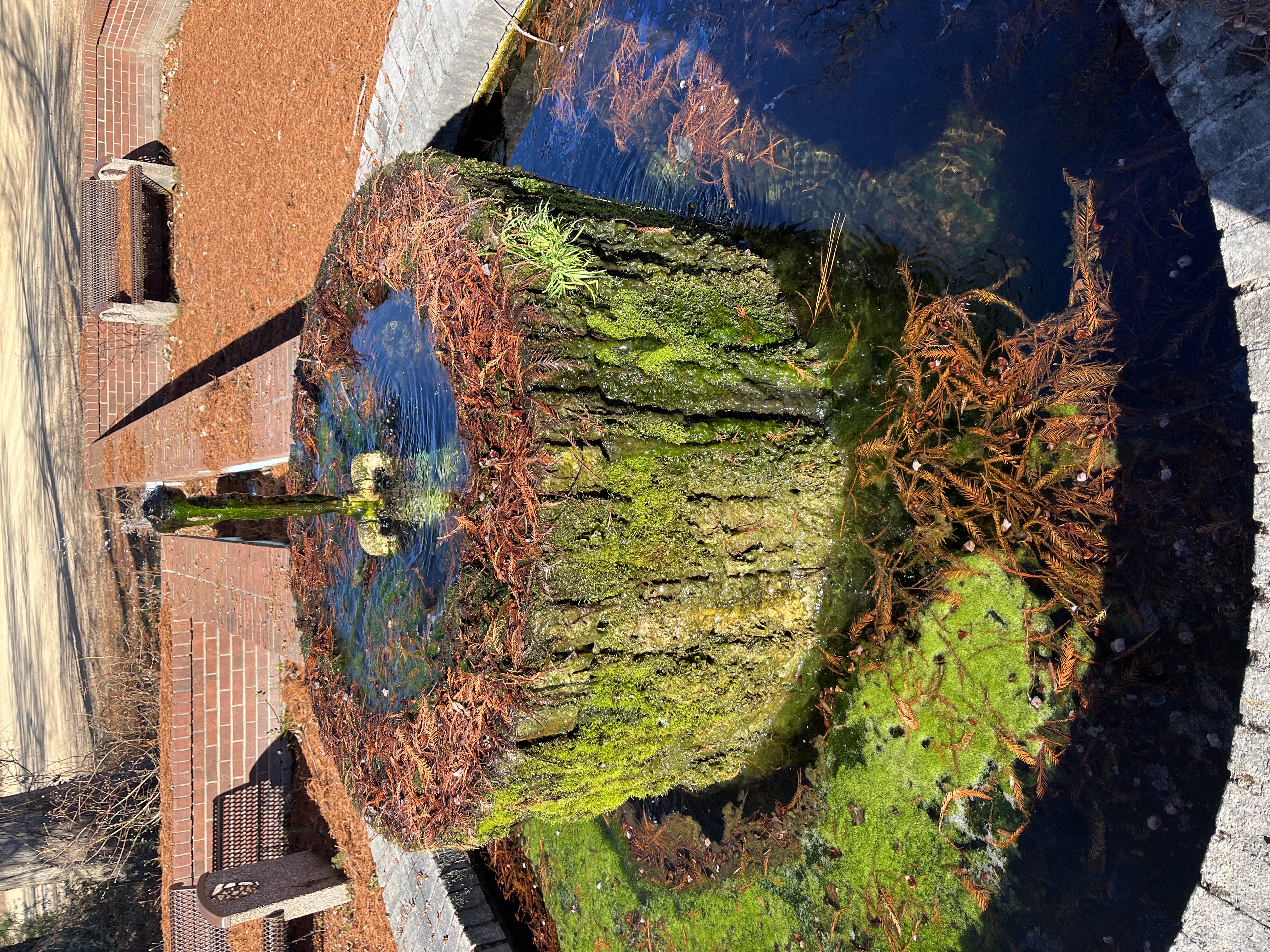
Limestone SpringsLimestone UniversityFountain built over spring at Limestone University that is covered in organic materialFormerly called Nesbitt Springs. Due to limestone deposits in the water, name changed to Limestone in 1835 upon the erection of a large hotel which became highly popular, especially with Low Country horse racing men, and flourished for about ten years. The original spring formed a pond that has since been built over by a fountain. Currently located on the closed Limestone University property.

Spring NameLocationSite PhotographInformation
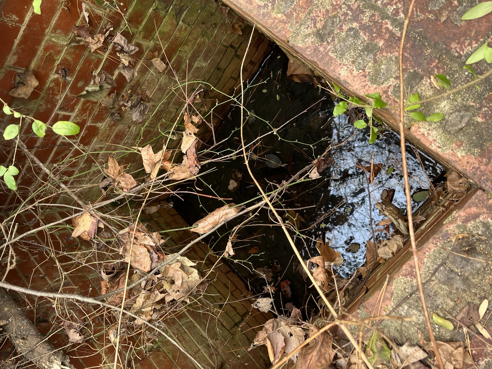
Rock SpringRubyAn image looking down into a brick enclosure covered with branches and leaves that has water at the bottomFormerly used by Rock Spring Baptist Church as a drinking water source and is located near the public road. 

Spring NameLocationSite PhotographInformation
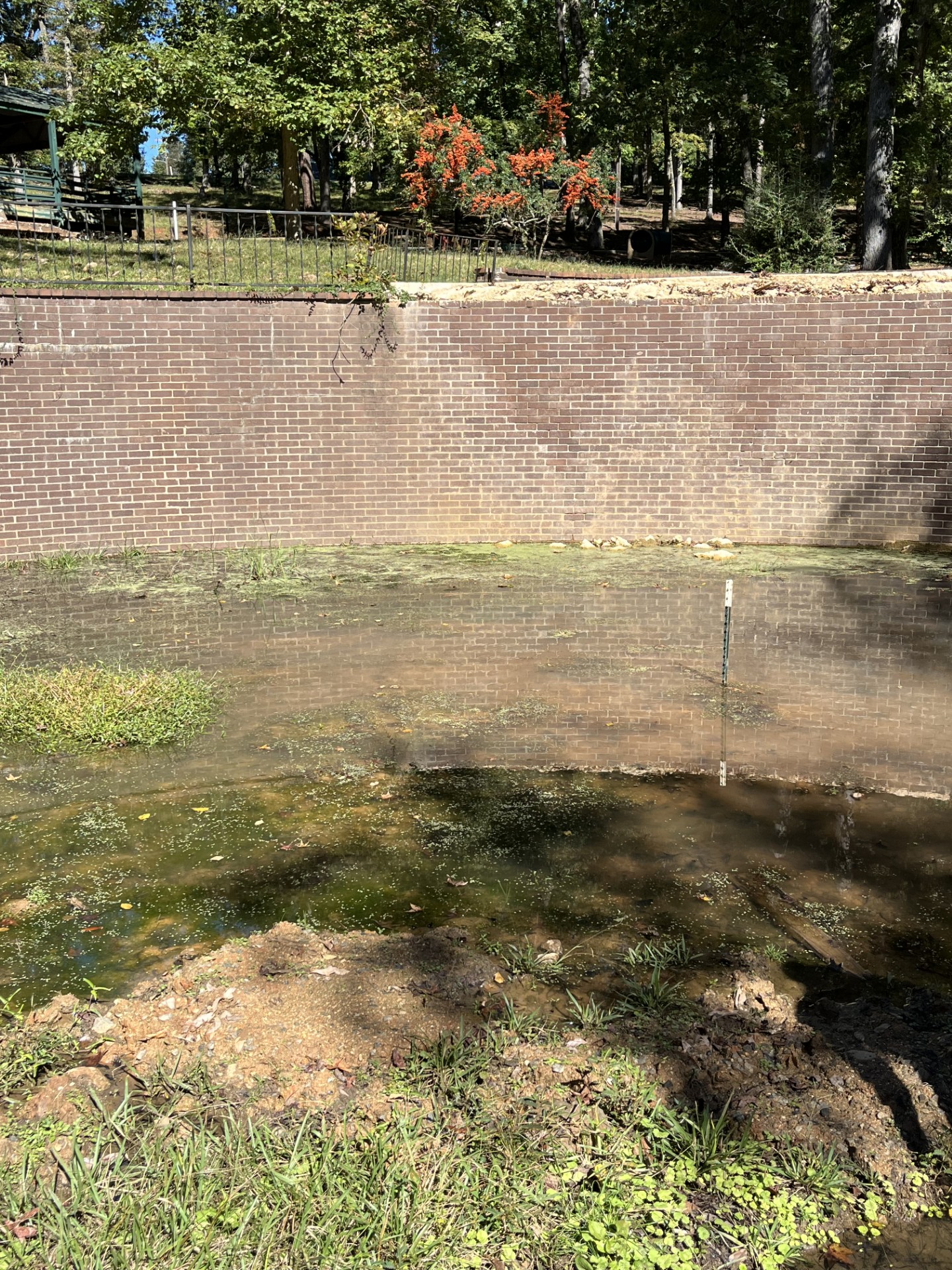
Fortune SpringsWinnsboroAn image of a marshy area where the springhead appears near a brick retaining wall in the parkCaptain Buchanan was a distinguished soldier of the Revolution and a leading citizen of Fairfield. He was one of the first Americans to greet General Lafayette when he arrived to assist in the struggle for American independence. Captain Buchanan and the French general became close friends, and Buchanan gave him one of his servants, a man named Fortune, to serve him during the war. After the Revolution, when Lafayette visited in this country, Fortune rode his pony to Columbia to greet the famous general and was treated as an important guest. A public park today is named for Fortune, where he lived out his life in a cabin at the spring. Formerly known as Fortune Woods, this garden's "ponds" and resident ducks offer a pleasant contrast to other historic sites. The land that the garden occupies was owned by Captain John Buchanan who gave it to his slave, Pompey Fortune, to show his appreciation for Pompey's accompanying General Lafayette as a body servant during the Revolutionary War. Today, the park is under construction, but the springhead still bubbles away. 

Spring NameLocationSite PhotographInformation
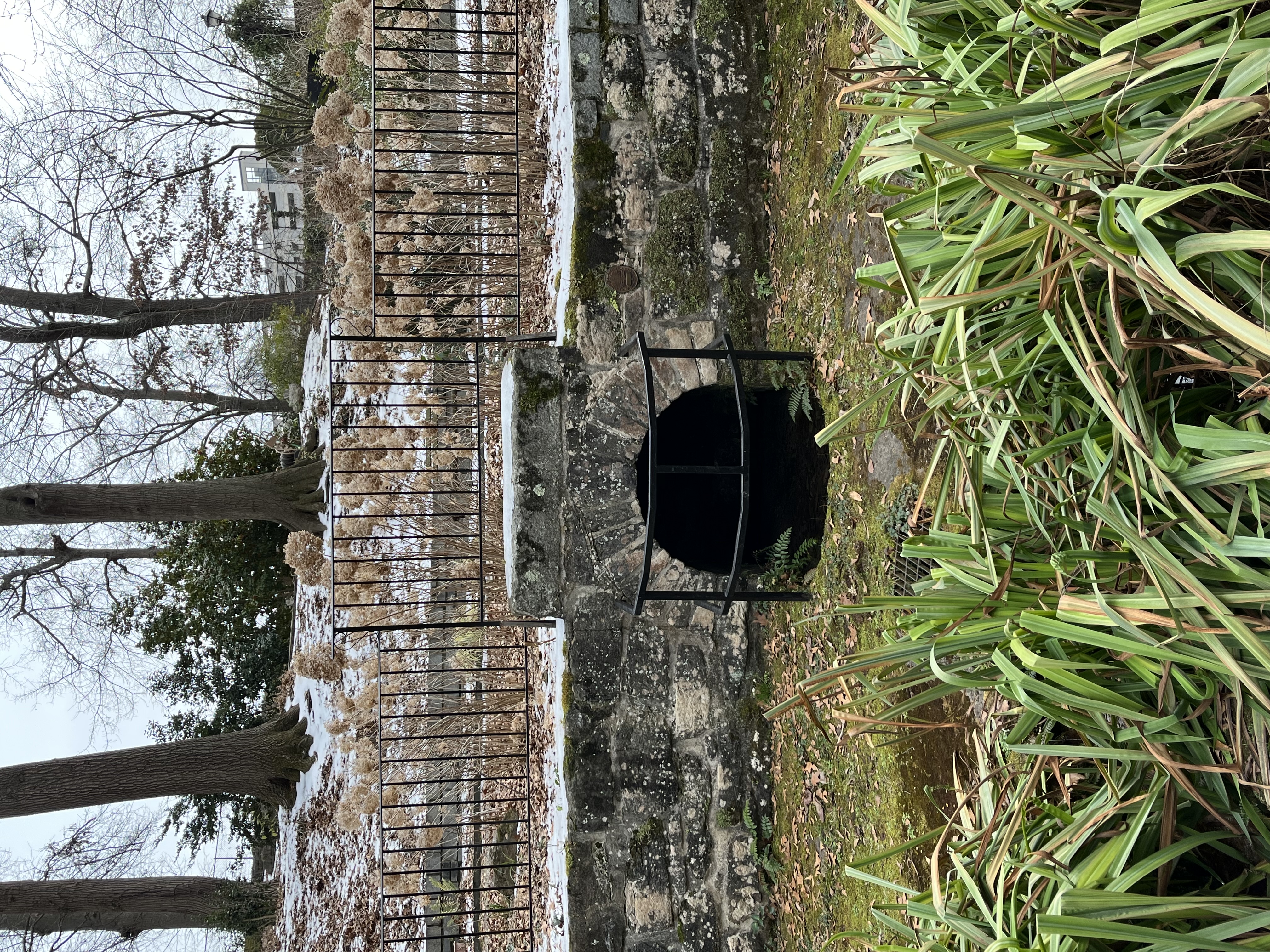
Waddy Thompson SpringGreenvilleA frontal view of Waddy-Thompson spring with plants in the foreground and a wrought iron fence around the springhead that sits within a stone wallLocated in downtown Greenville, this historic spring is on the same property as the Josiah Kilgore house. The house and spring are both listed on the National Register of Historic Places.
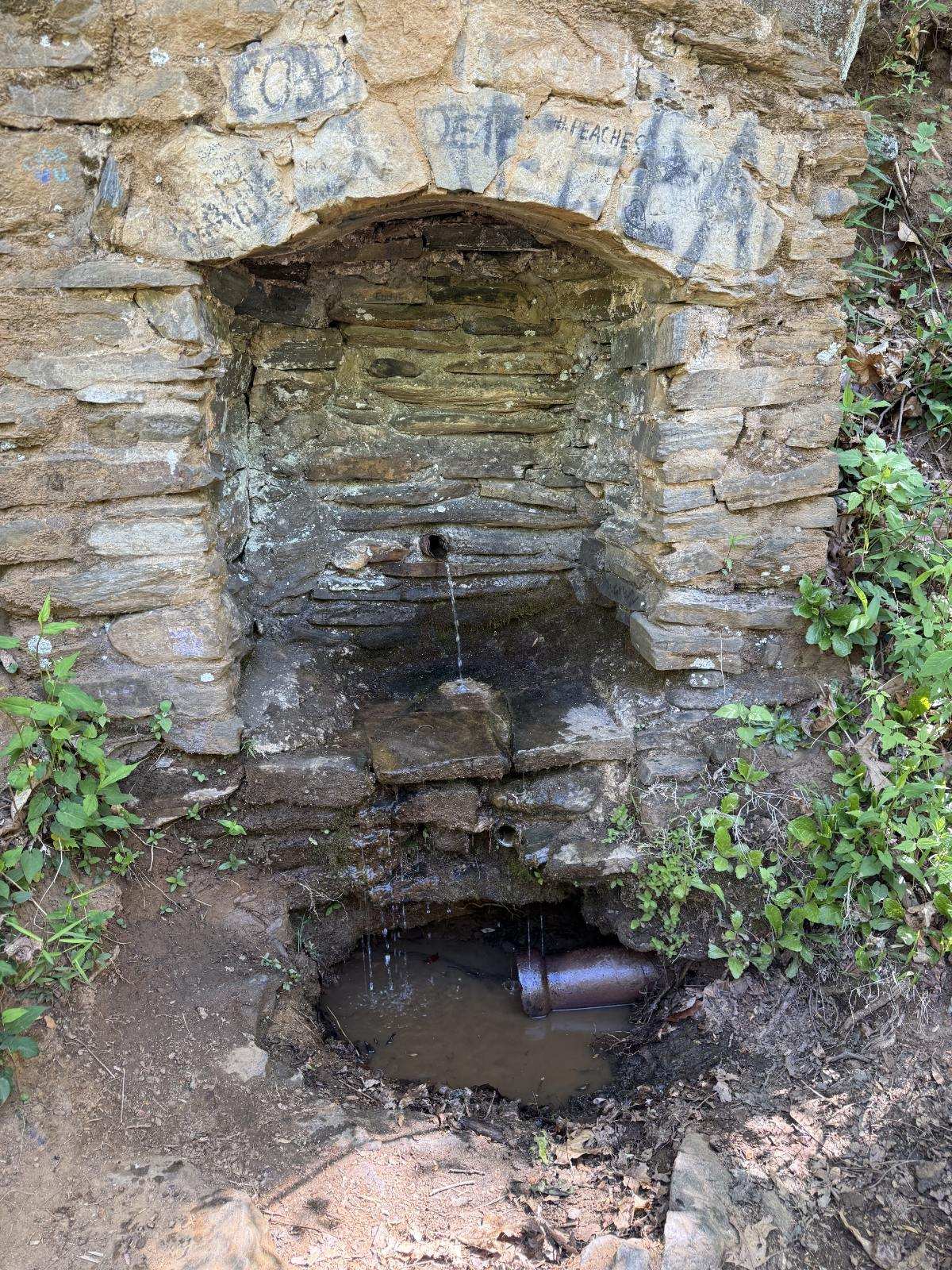
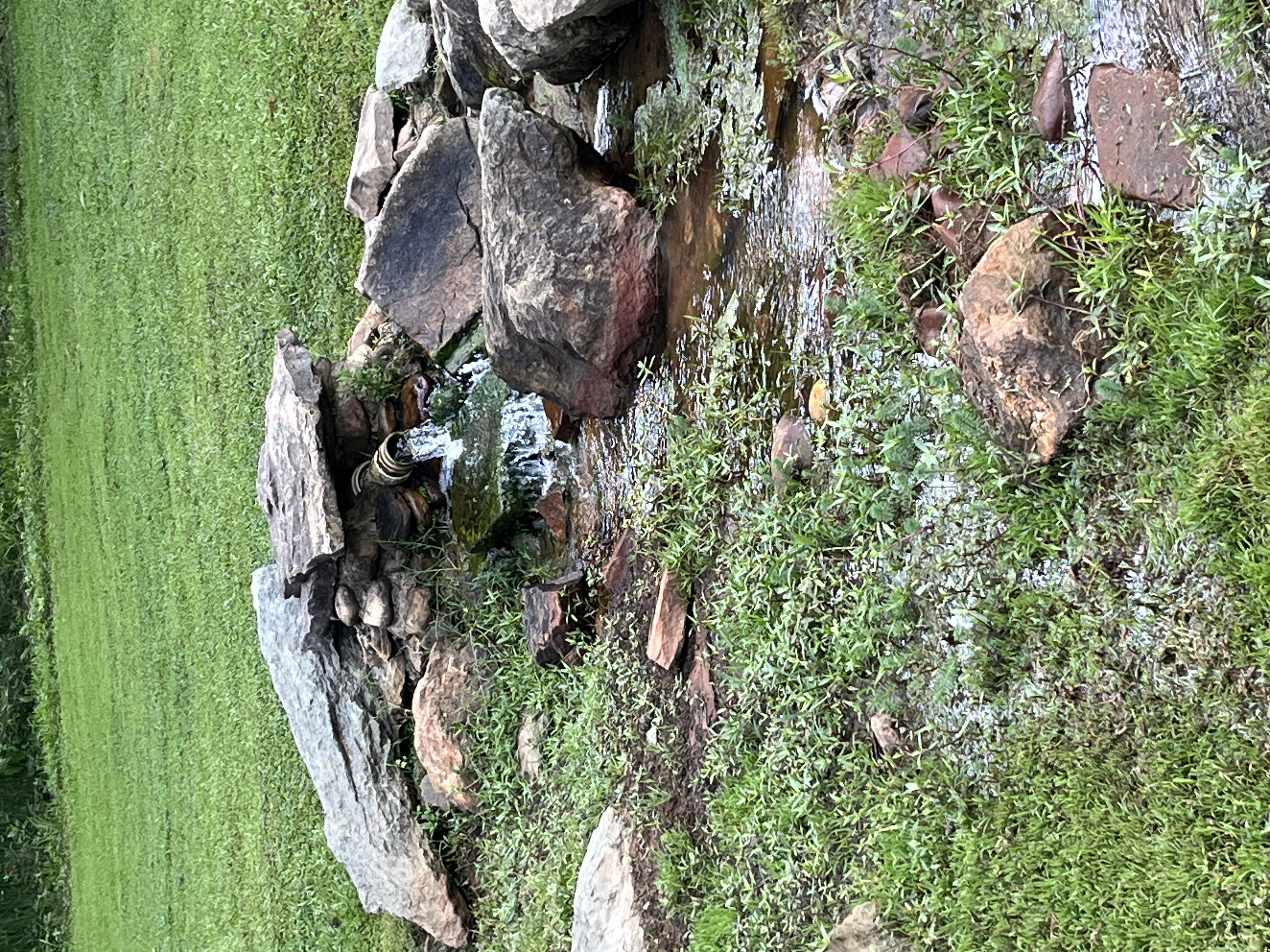
Marchant SpringCaesars HeadAn image of Marchant Spring's stone alcove near the road with a pipe exhibiting flowing water that falls onto the ground where another pipe sitsStaffers at Caesars Head State Park, 5 miles north of the spring on US Highway 276, say they are not sure who, around 1900, developed this tiny oasis beside what was then a rough and harrowing unpaved track. But it was on Marchant family land, they believe, and is to this day called "Marchant Spring". This spring is right next to the public road and easily accessible via a small pull off area for parking. 
UnknownPleasant Ridge County ParkSpringhouse in Pleasant ridge County parkMost likely a springhouse for food preservation. Until the 1960s South Carolina's State Parks were segregated, and though the state provided separate recreational facilities for whites and blacks, they were never equal as claimed. In 1961 a class-action suit was filed to integrate the parks, and in 1963 an order was issued for the state parks to comply with the Civil Rights Act of 1954. Rather than integrate the system, the state attorney general responded by closing the park to all South Carolinians, regardless or race. However, in response to public demand, all of the parks were reopened on a desegrated basis by 1966, including Pleasant Ridge County Park. This springhouse is easily missed on the way to the park's waterfall, but does exhibit flow from the groundwater underneath it. 
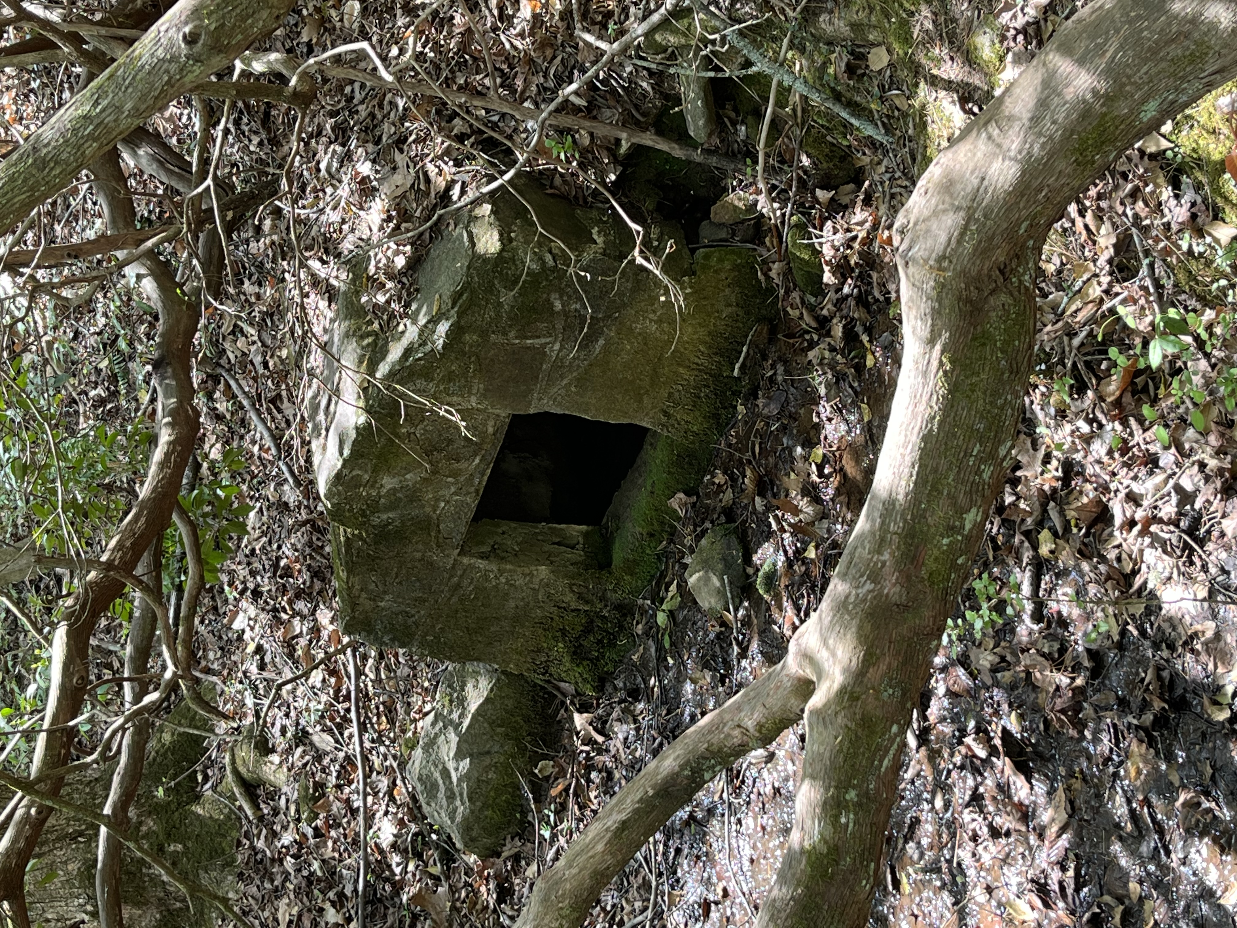
UnknownJones GapStone structure and springheadA small springhead with a stone structure built around it, possibly from the early 1900s. Located off the public road, it is not frequently visited and easily missed due to the nearby vegetation. 
Camp Buckhorn SpringParis Mountain State ParkSpringhead feeding into creekLocated near Camp Buckhorn, this spring feeds into a creek and is surrounded by mountain azalea. By 1935, the water supply from Paris Mountain (Paris Mountain Water Company) was inadequate and new reservoirs had been established. The country had entered the Great Depression, and thousands of young men could not find jobs. The federal government’s New Deal program had set up the Civilian Conservation Corps, the CCC, to make improvements in state parks under the direction of the U. S. Forestry Service. As a result, the city deeded the 1,125 acres of the Paris Mountain watershed to the state in order to establish Paris Mountain State Park. By June 1936, CCC workers had constructed a bathhouse, parking area, caretaker’s house, picnic area and two miles of unpaved road. A year later, they had built bridges, three picnic shelters, and the park entrance, all of local stone. The park opened on June 1, 1937, with a group facility, Camp Buckhorn (designed originally for underprivileged children), swimming facilities, and hiking trails; by 1940, the last year of CCC involvement, an amphitheater and athletic fields had been constructed.
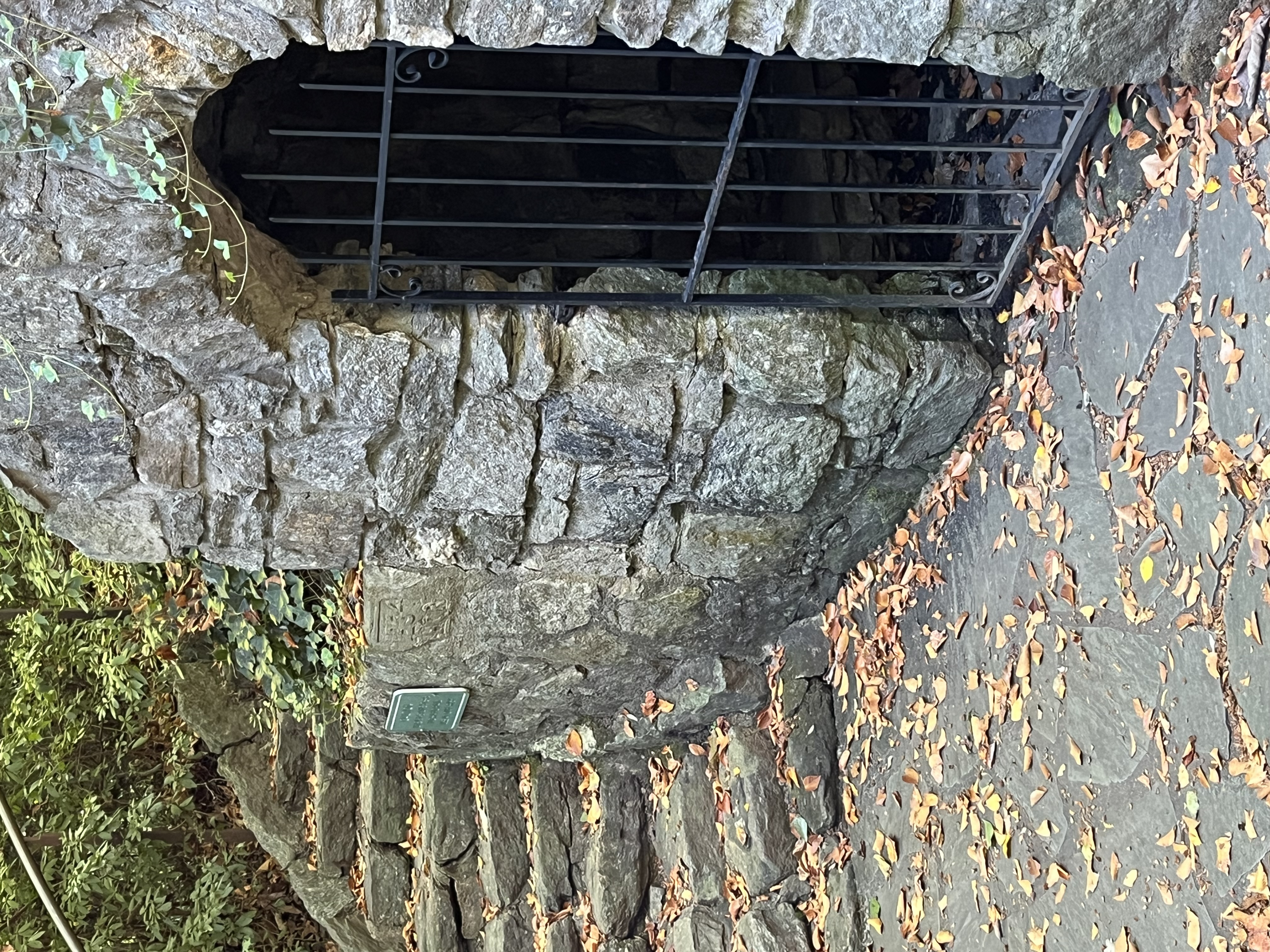
Reedy River Falls SpringReedy Falls ParkReedy Fall Park springhouseOriginal springhouse is located near the park amphitheater with a locked wrought iron gate. The springhouse does not have any flowing water inside, however, the spring flows out underneath the old springhouse where it joins a nearby creek in the park. Name-plate to the left of the springhouse says 1934 HQR. 
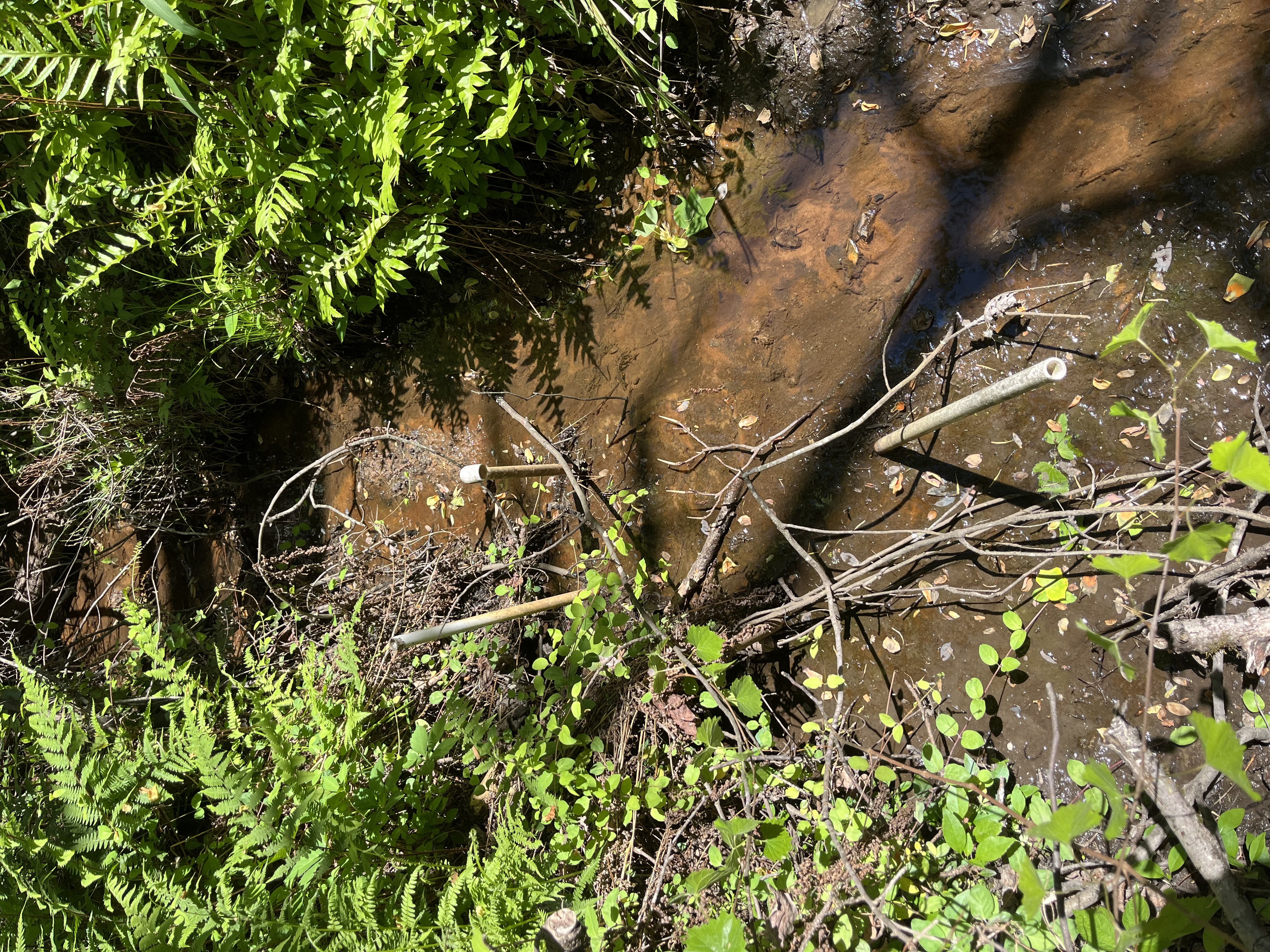
UnknownBunched Arrowhead Heritage PreservePipes at original spring location.Spring is located off-trail and feeds into a nearby creek. Area is overgrown with original PVC pipes for accessing the water still in the area. Property is owned by the SCDNR and is frequently used for research by nearby colleges and universities due to its natural biodiversity. 
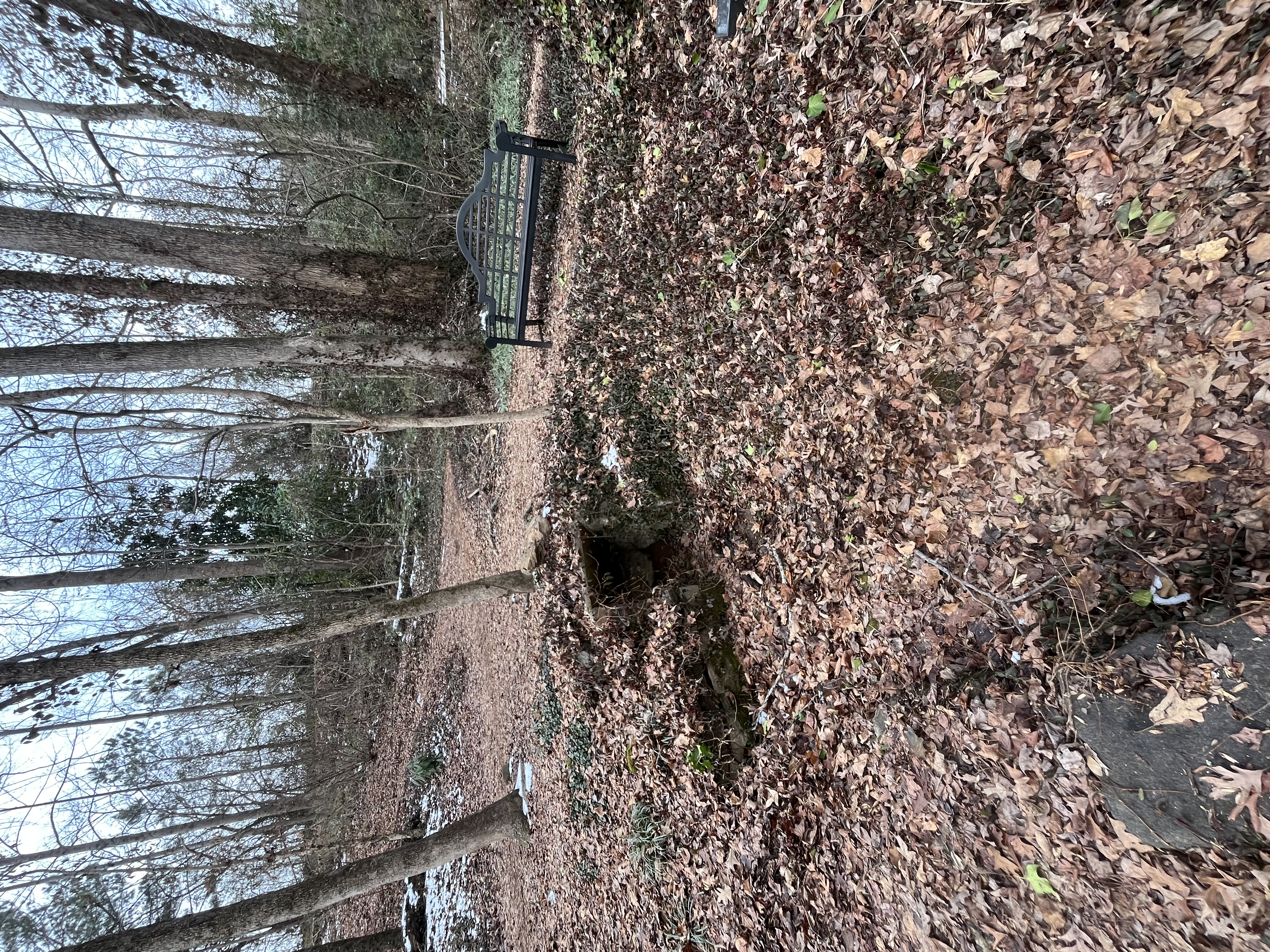
UnknownFurman UniversitySpringhead garden areaLocated at the end of the Morgan Meditation Trail, this spring has a wrought iron bench with a plaque inscribed with the words, "In memory of Ethel Morgan March 5, 1892 - January 1, 1973. She lived a life of truth and beauty". 

Spring NameLocationSite PhotographInformation
Heath SpringsTown of Heath SpringsAn overview image of the stone structure that encompasses Heath Springs with leaves scattered on the ground in the grassLocated near a boardwalk area and typically covered with a basin. The name was changed from Heath’s Spring to Heath Springs in 1910 to honor Mr. B. D. Heath and Colonel Leroy Springs. This spring has a steady flow and creates a small marshy area in its vicinity with many lizards present. 

Spring NameLocationSite PhotographInformation
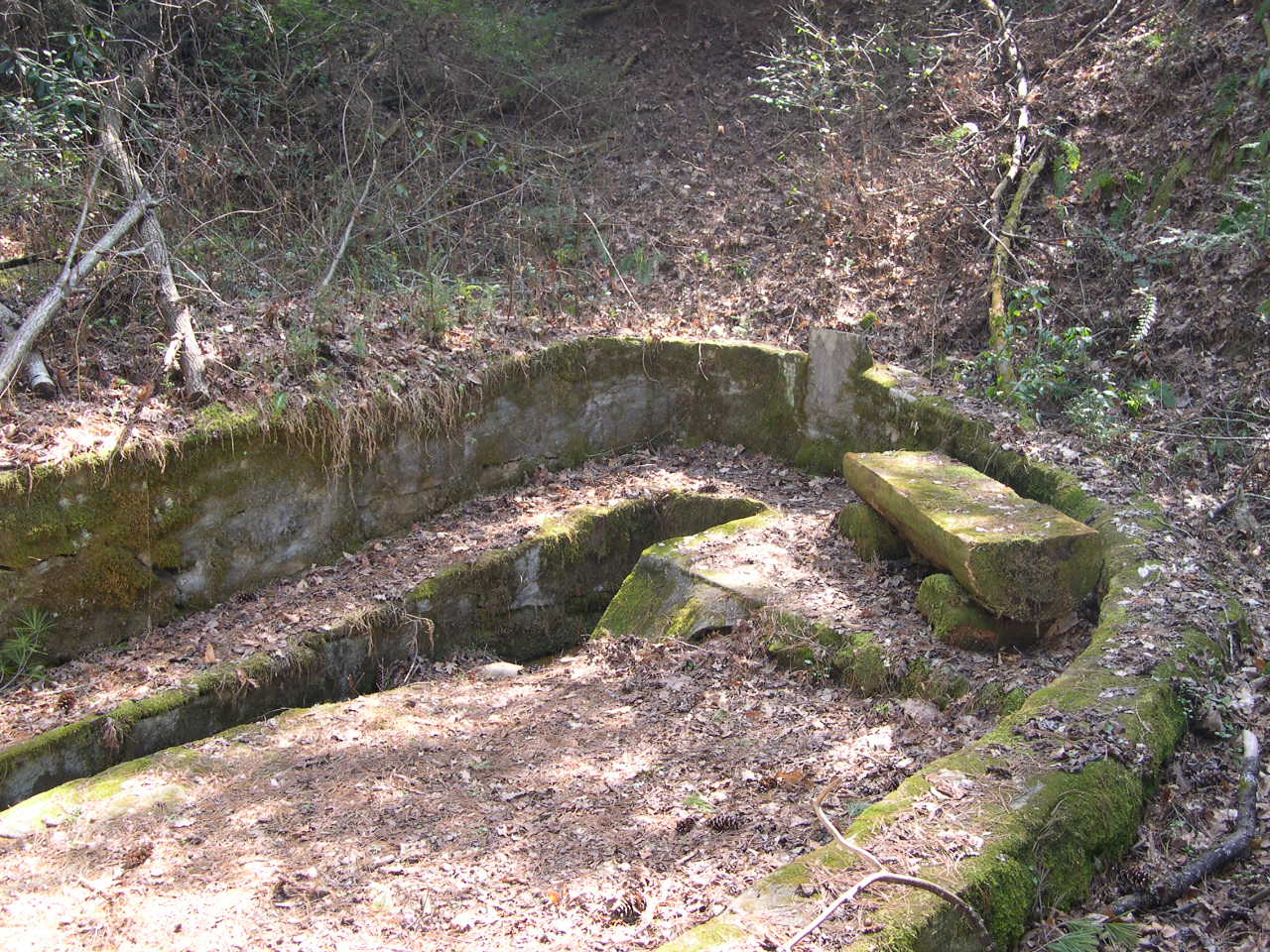
Hudgens SpringCity of LaurensAn image showing a half buried cement structure that originally housed Hudgen's Spring with lots of leaves, branches, and soil nearbySpring has an old structure nearby mostly eroded away into the hill behind the local city fire department. Springhead still bubbles, however, the area appears to have mostly been left to overgrow and allow soil to divert the spring from its original location. 

Spring NameLocationSite PhotographInformation
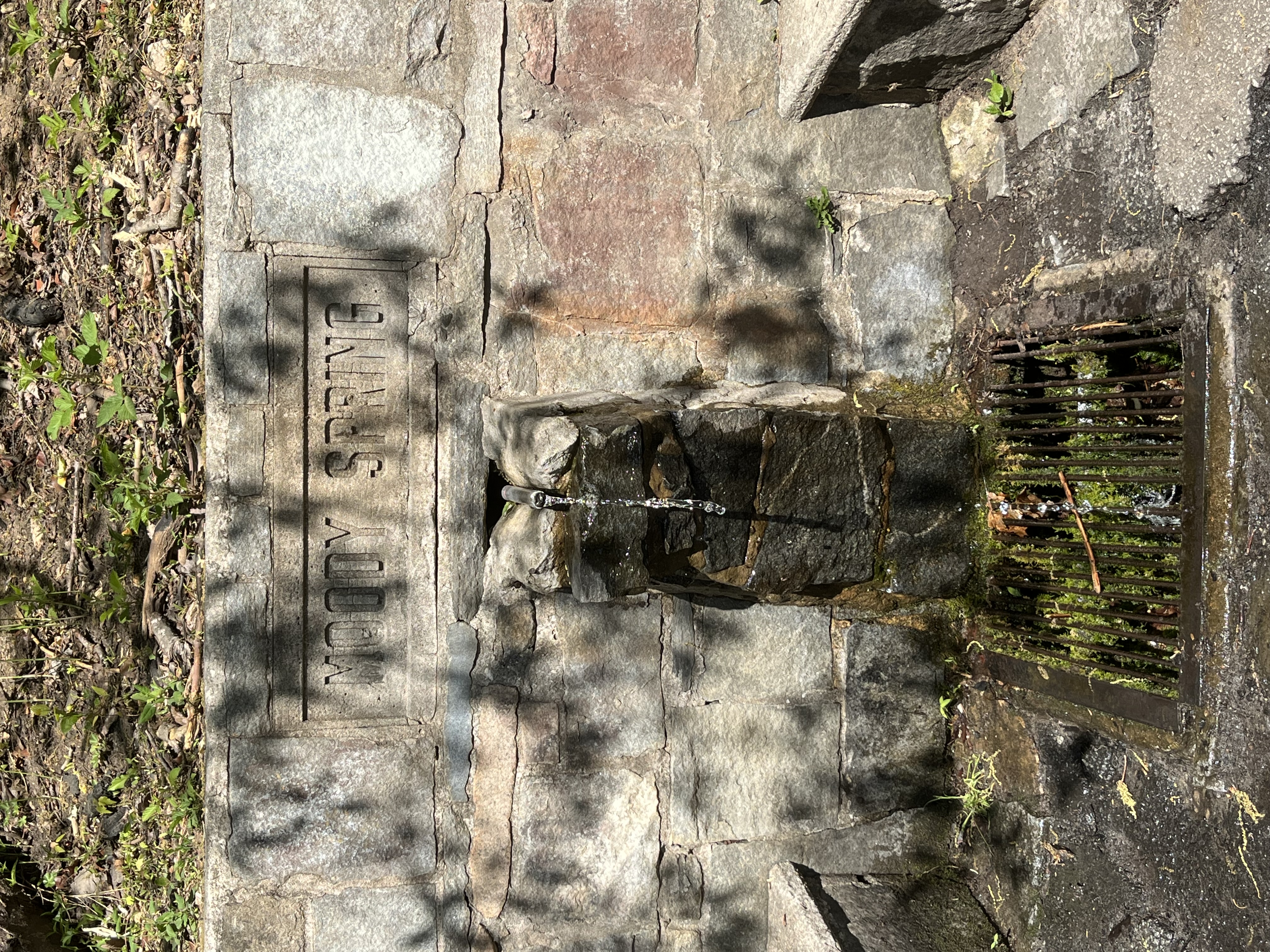
Moody SpringHighway 107Frontal image of water flowing out of a stone structure with the words Moody Spring above the spout with a mossy grate below and stone benches on either sidePopular local tourist attraction and drinking water source with an urban legend mentioning a ghost hitch-hiker. Flow stops and starts. Concrete benches serve as seating for visitors. 
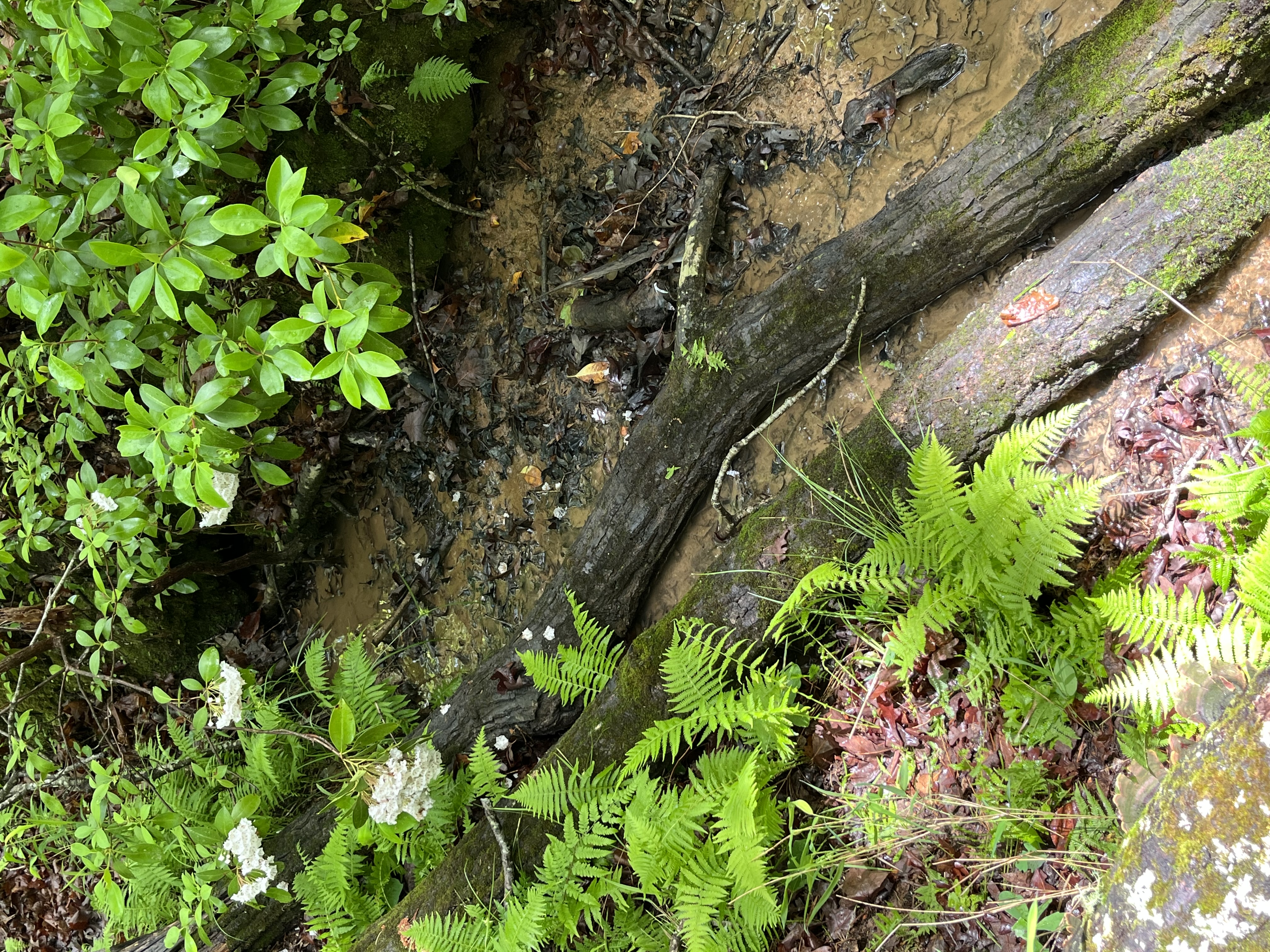
UnknownOconee State ParkAn image showing a clear creek with two large branches and many ferns and leaves nearbySpring feeds into creek at the park's old archery range. Water is very clear. 
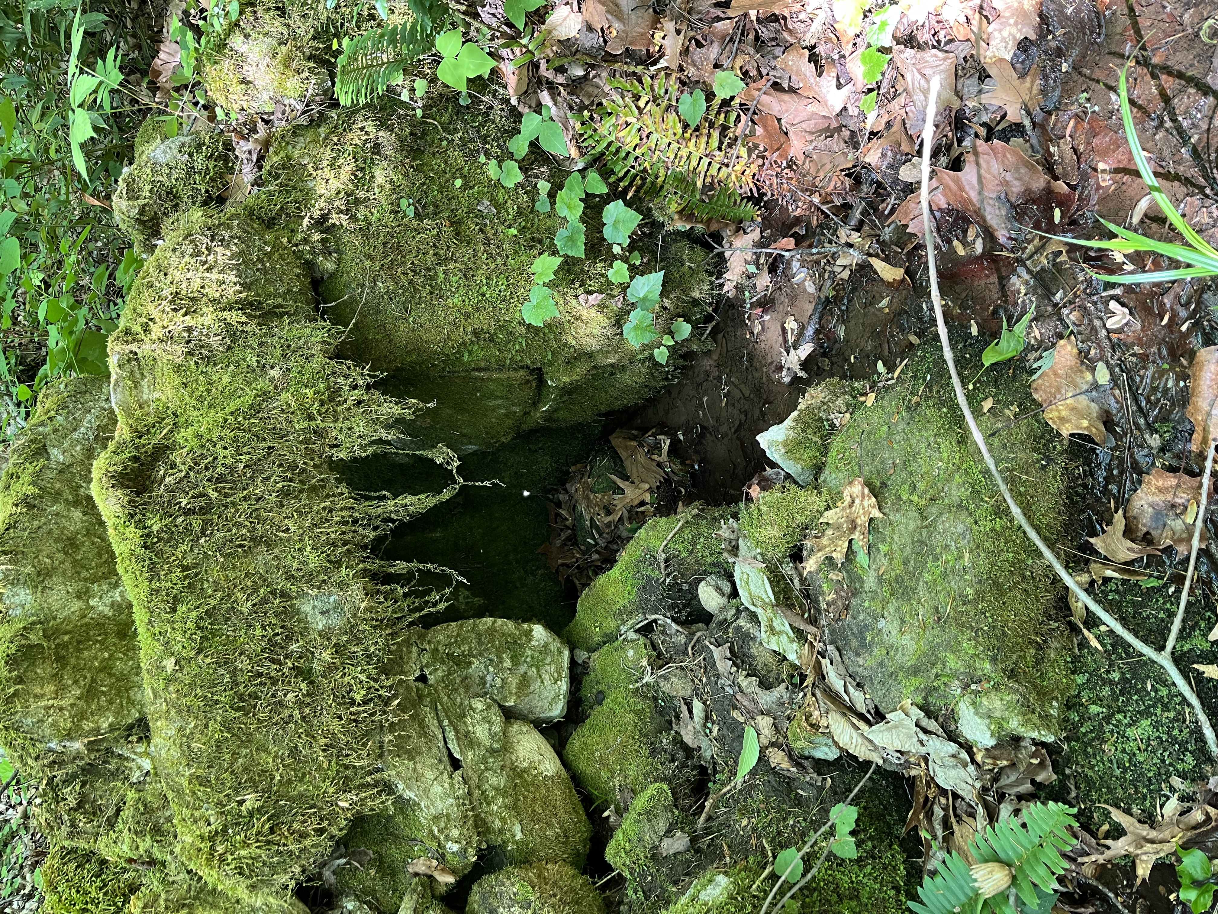
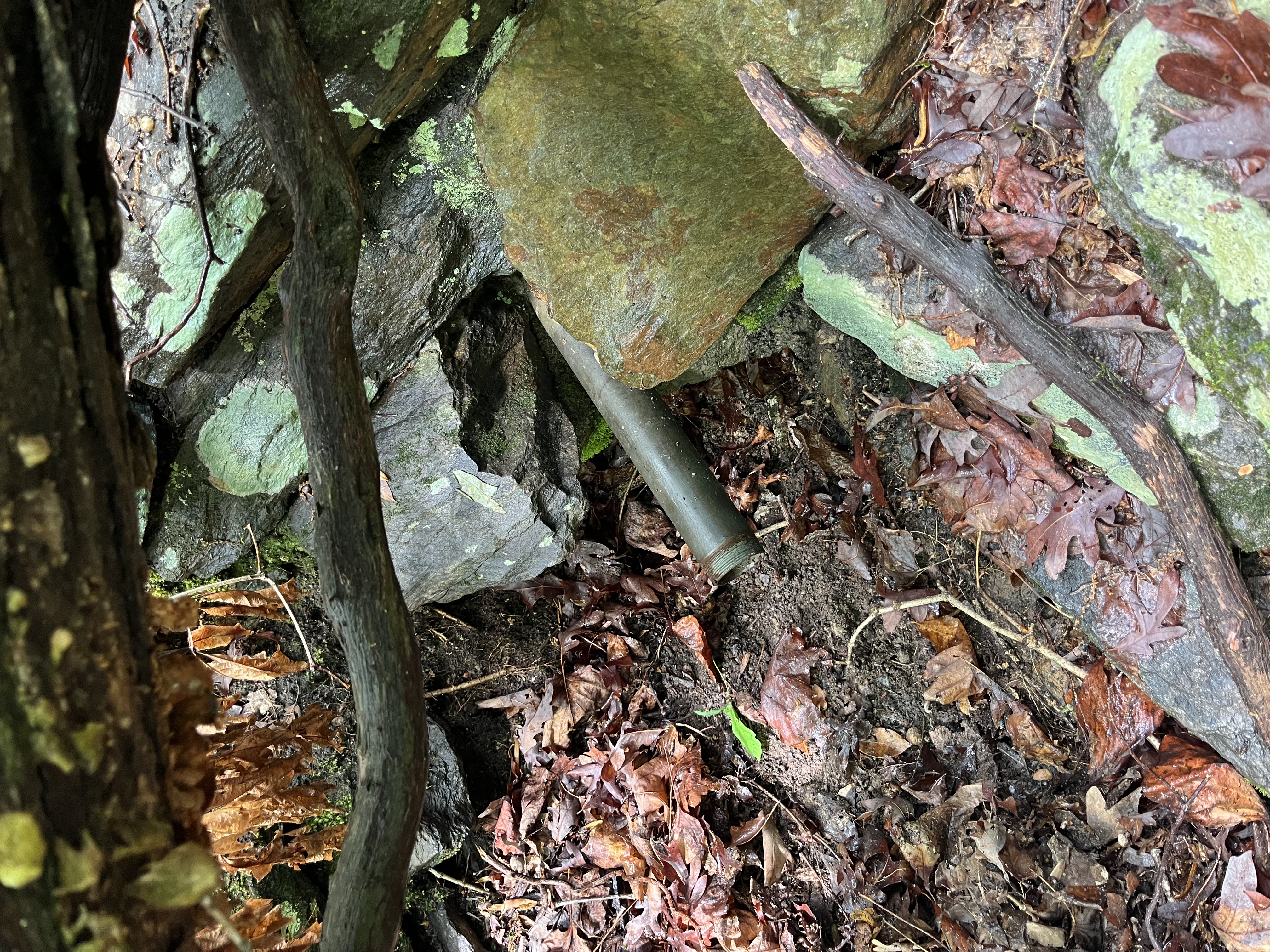
UnknownOconee State ParkAn image showing a metal pipe sticking out of rocks with fallen trees and many leaves in the areaSpring has dried up, but the pipe for more easily accessing the water is still located in the park, near the old archery range's trail. The area has many fallen trees.
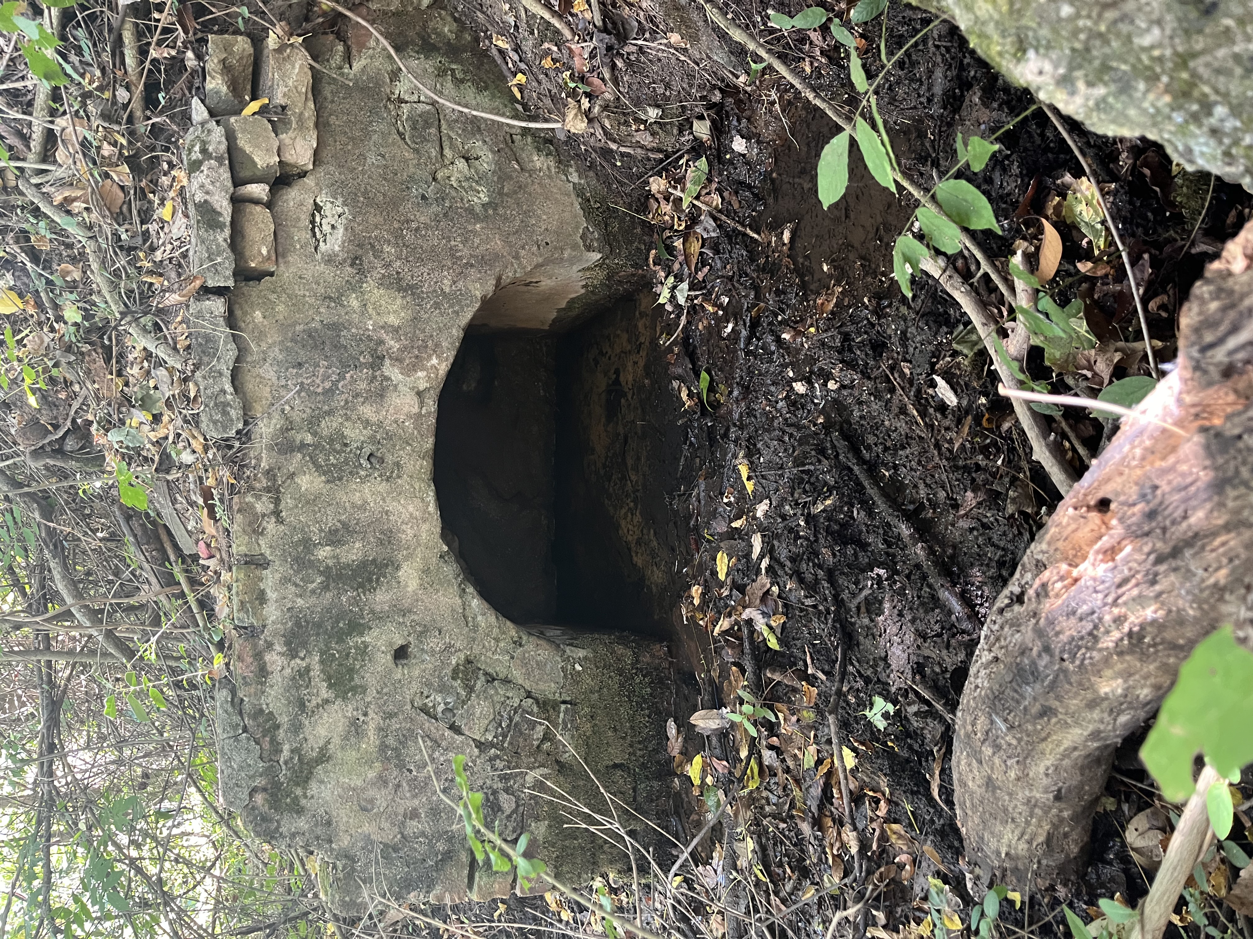
UnknownChatooga TownAn image of a rounded concrete structure with stones covered in many leaves where the springhead flows from a hillSpring flows out of ground and stone structures where it continues through a small springhouse and into a creek beyond. This was a busy Appalachian farmstead in the late 1800's and early 1900's.

Spring NameLocationSite PhotographInformation
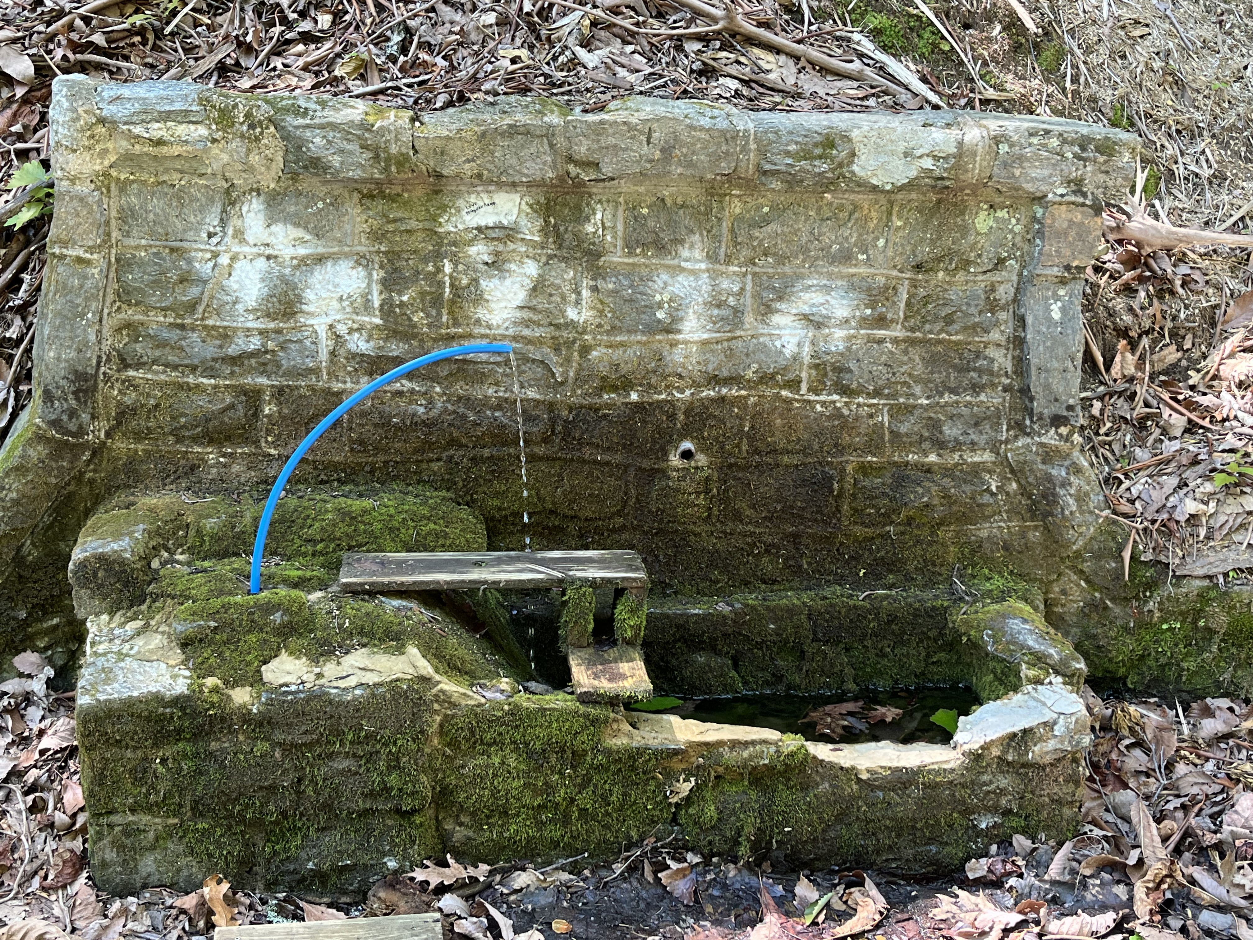
UnknownSouth of the North Carolina State lineAn image of a stone structure near a road with a blue hose that has water flowing out of it with many orange leaves in the vicintyLocal roadside tourist attraction with constant flow. Area has a small pull off for car parking.  
Willow SpringsClemson Experimental ForestAn image of a low depression surrounded by stone steps under a park shelter where water flows out of the nearby hill and continues out from underneath the structureSpring is located under a shelter with a nearby sign that says Willow Springs. Pipe does not have flow, but water seeps out of the same area in the shelter and flows into a nearby lake. 

Spring NameLocationSite PhotographInformation
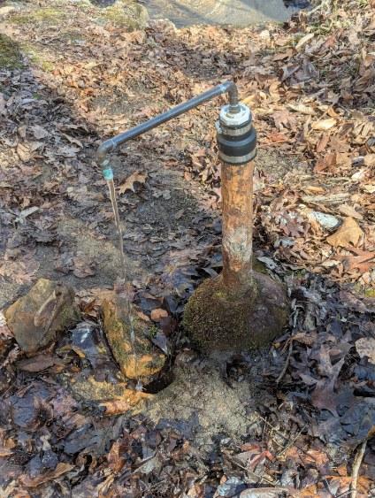
White Stone SpringCroft State ParkAn image of a rust colored pipe with an extended smaller pipe that has water flowing out of it and the area has many leaves nearbyThe community was a resort area in the late 1800s. Springs spewed forth mineral water, thought to be a cure for kidney, liver, stomach ailments, and the scourge of the Low Country, malaria. 
The tops of the rocks were white where the mineral water flowed.
A tourist hotel built near the springs catered to Charleston gentry and rice planters wanting to escape the swampy region’s summer heat and disease-bearing mosquitoes. Trollies from the Whitestone railhead brought them in. Low Country and Upstate folks alike flocked to the area for a drink of the elixir. Supposedly, the hotel had been a very elegant structure with several dining rooms and recreational facilities for guests. Constructed in the early 1890s, it burned after operating less than 10 years and was not rebuilt. Today, the spring is located near the end of a trail in Croft State Park. 
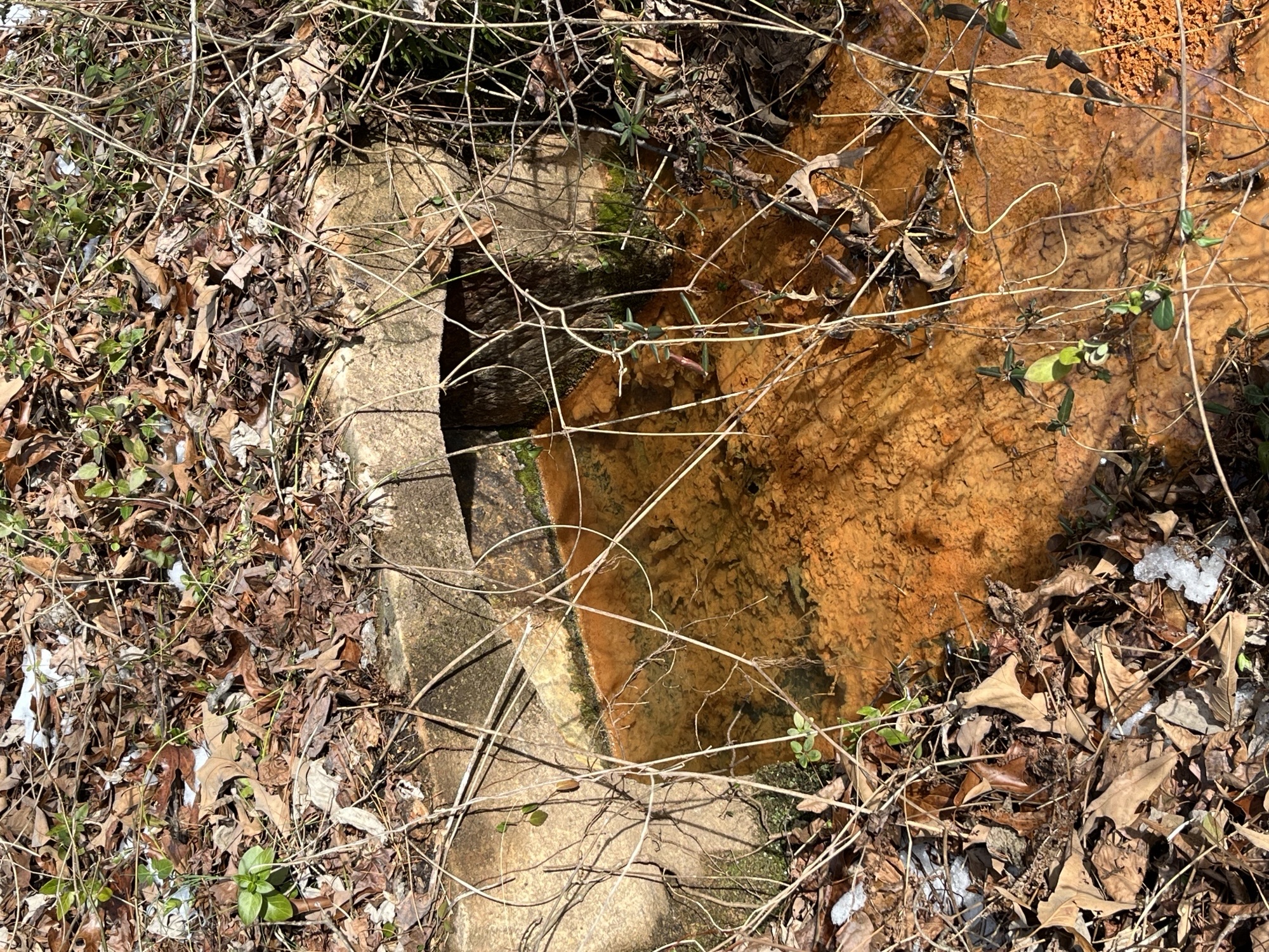
Sulphur SpringsCooley SpringsAn image of a small concrete archway with clear water flowing out of it and many orange bacteria at the bottom of the stream that is surrounded by leavesSpring is located immediately off the public road and feeds into a nearby stream. Lots of iron-oxidizing bacteria present. 

Spring NameLocationSite PhotographInformation
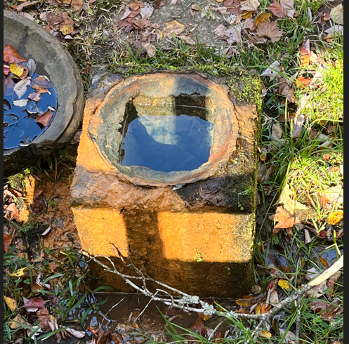
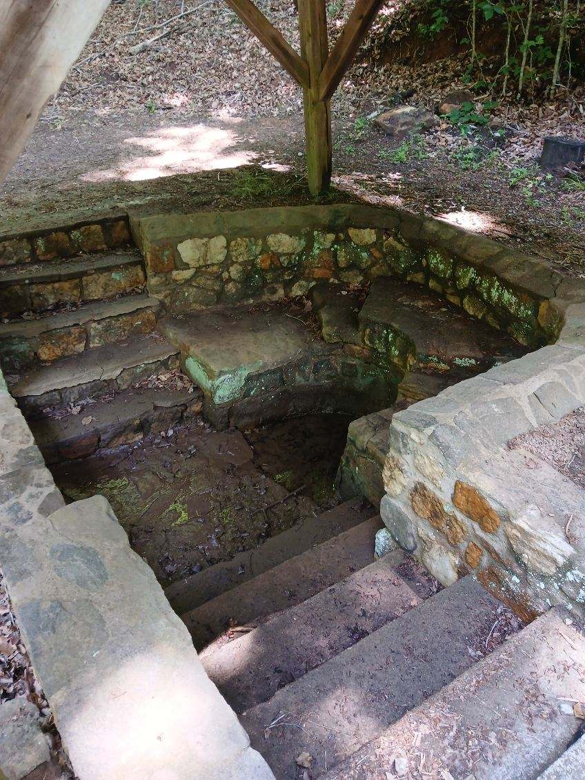
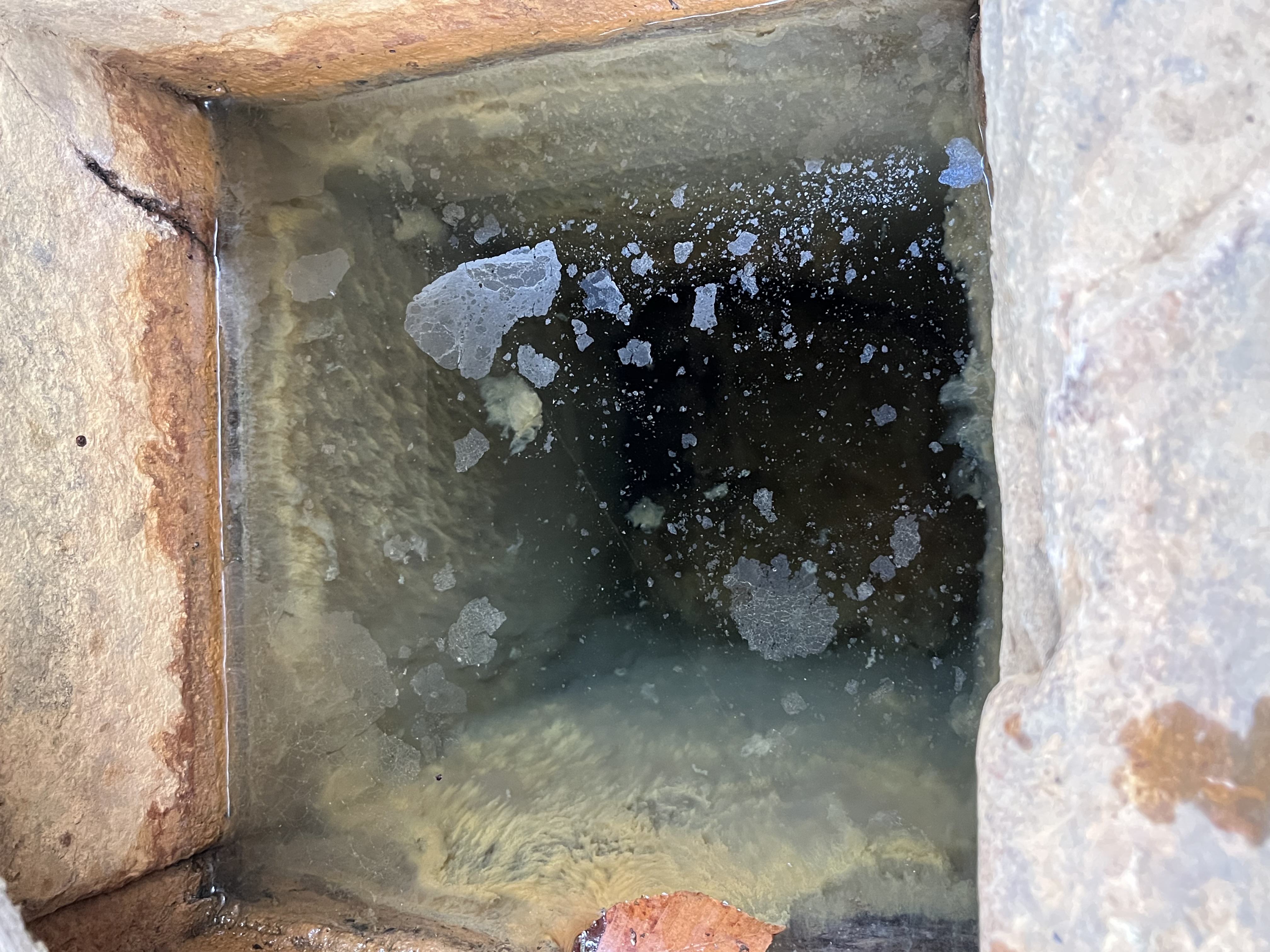
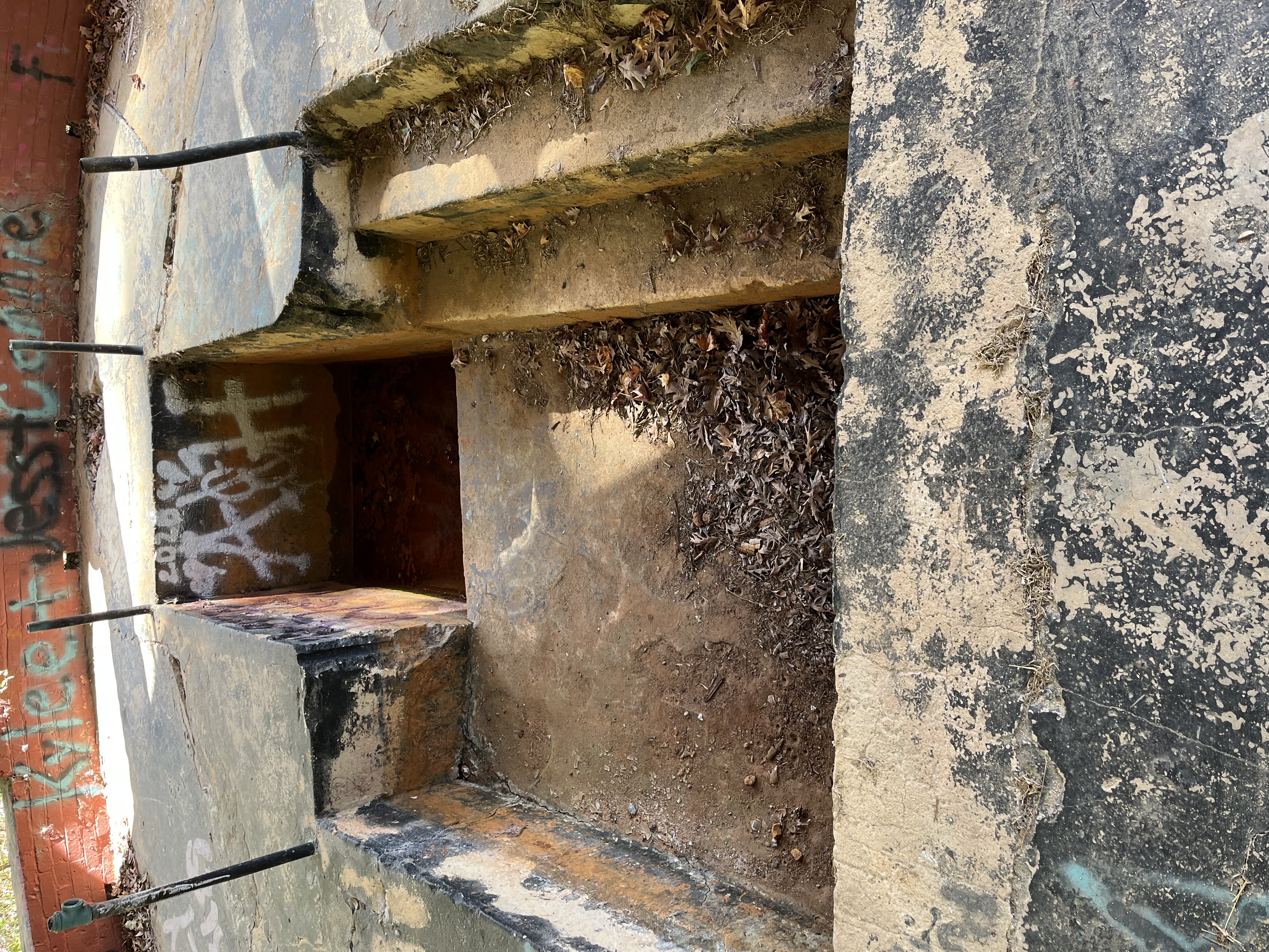
West SpringsTown of West SpringsAn overhead image looking into the square concrete shaft where the springhead rises to a static level Spring is located under a shelter and is typically covered with a wooden top. Water level remains static when viewing the opening under the shelter, however, a groundwater pipe shows water flowing into the nearby creek. 
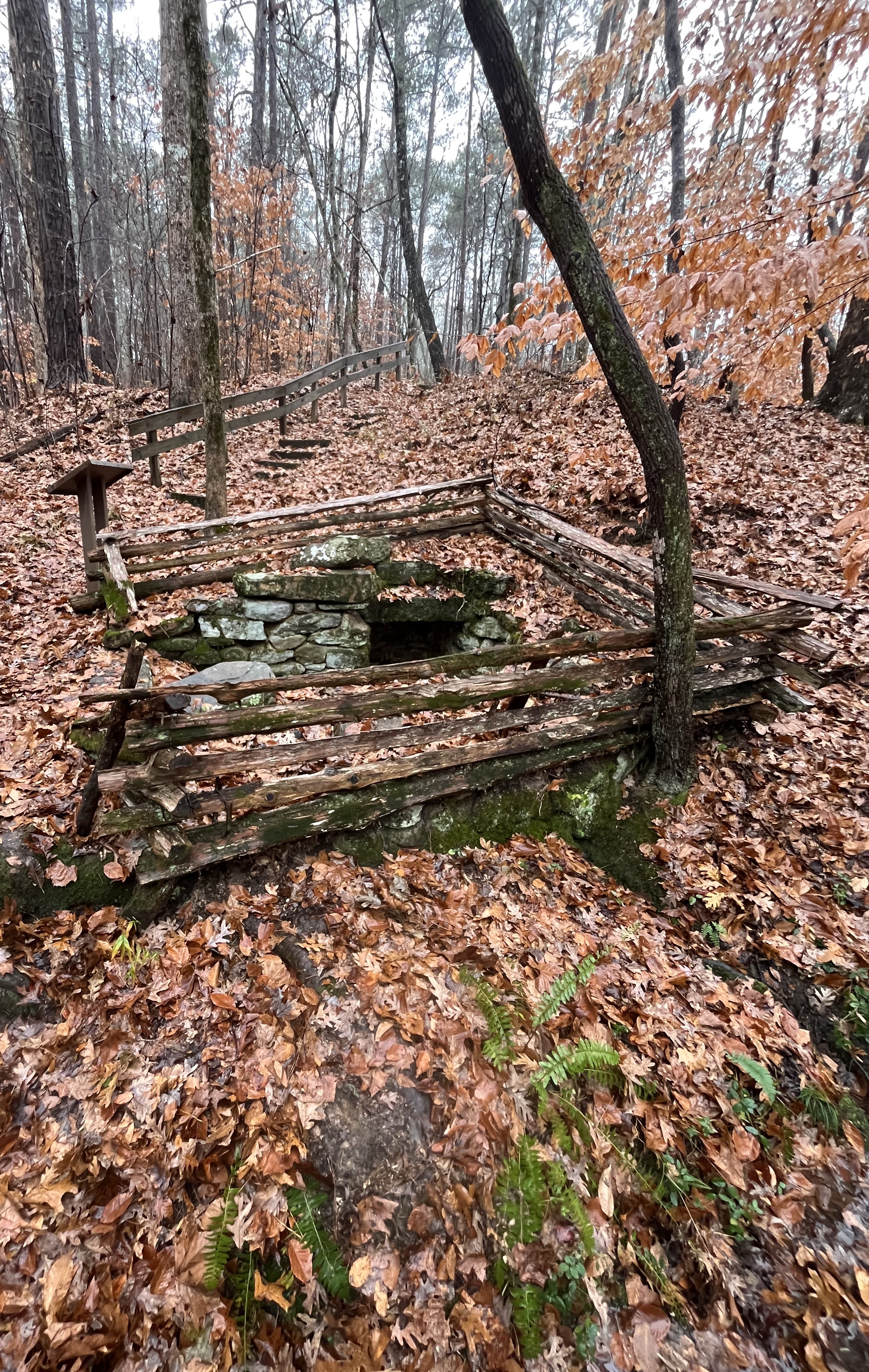
Jews Harp SpringSumter National ForestAn image of a stone structure surrounded by fencing, trees, and leaves that are all covered in lichensIn Union County, Jews Harp Spring earned its name from the shape of the hand-cut stone enclosure that channels its flow. Built in the 1860's by mason J.E. Sheridan, eight stone steps lead down to the bubbling spring. Once the primary source of water for Orange Hall Plantation, it flows undisturbed today even as the crumbled plantation ruins turn slowly to rubble.

Spring NameLocationSite PhotographInformation
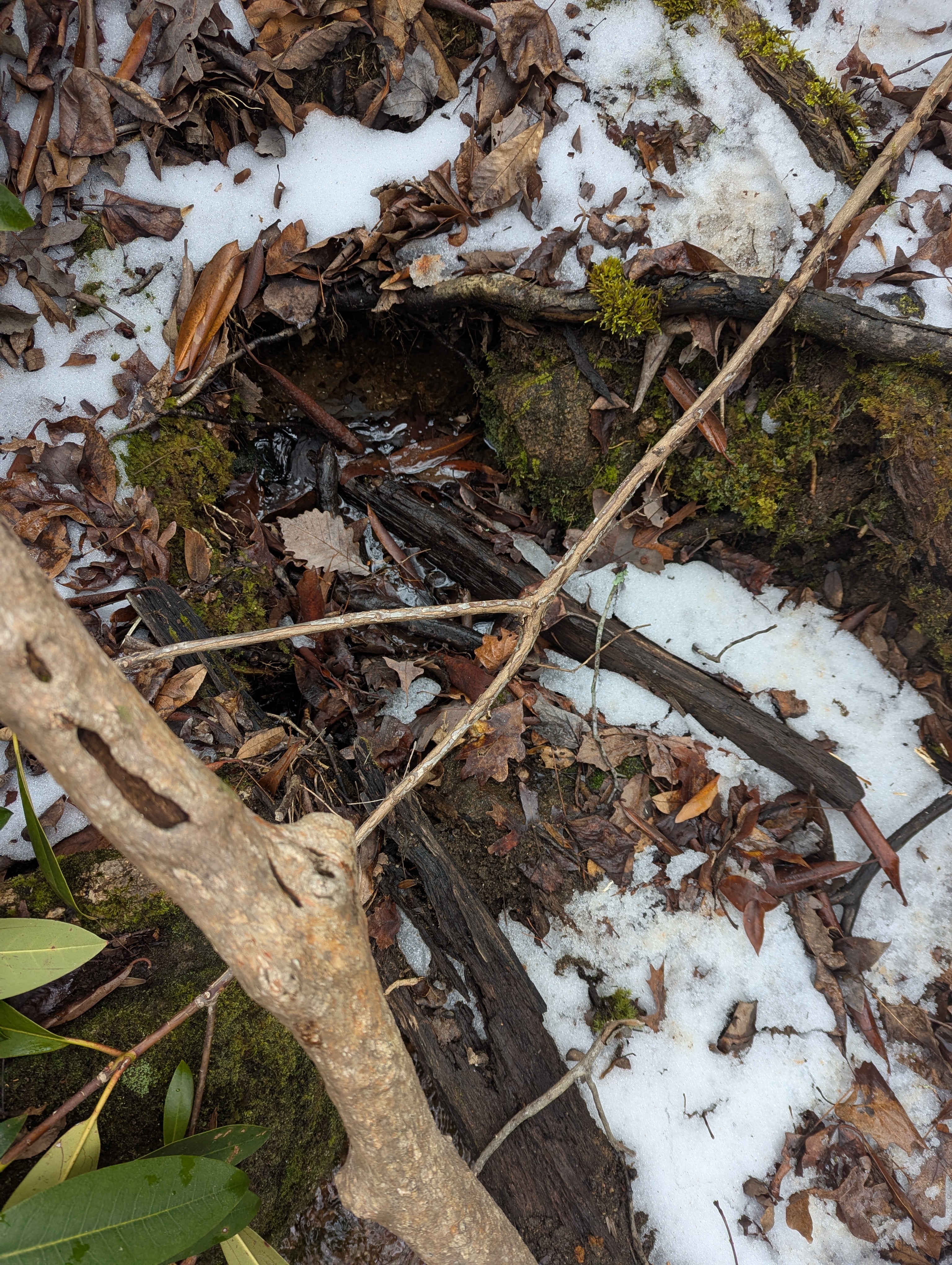
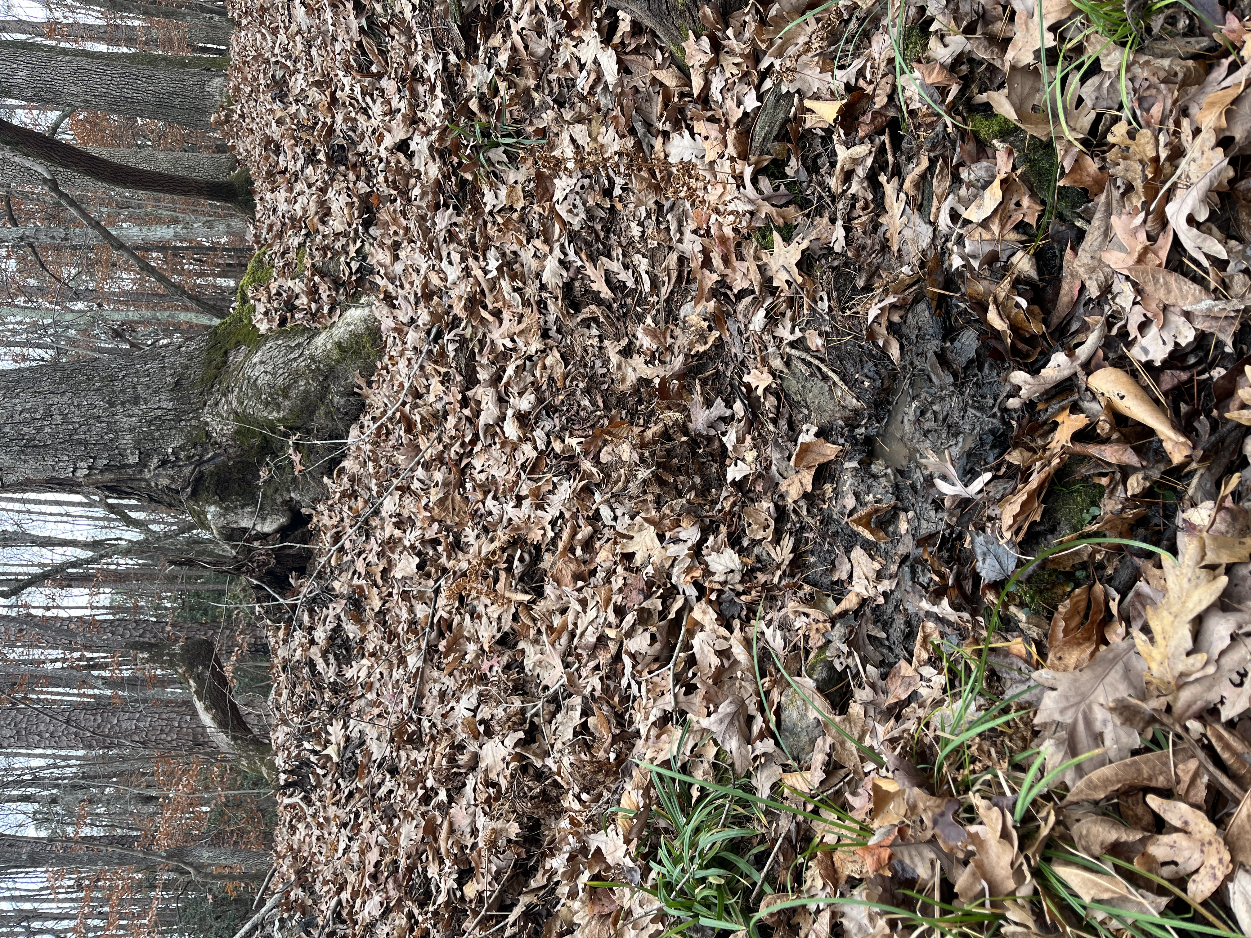
UnknownKings Mountain State ParkAn image of a muddy spot in the forest with many trees and orange leaves in viewSpring appears near the park's main road, slightly up a hill and is surrounded by many trees. Area appears to have many ephemeral springheads given the elevation. 
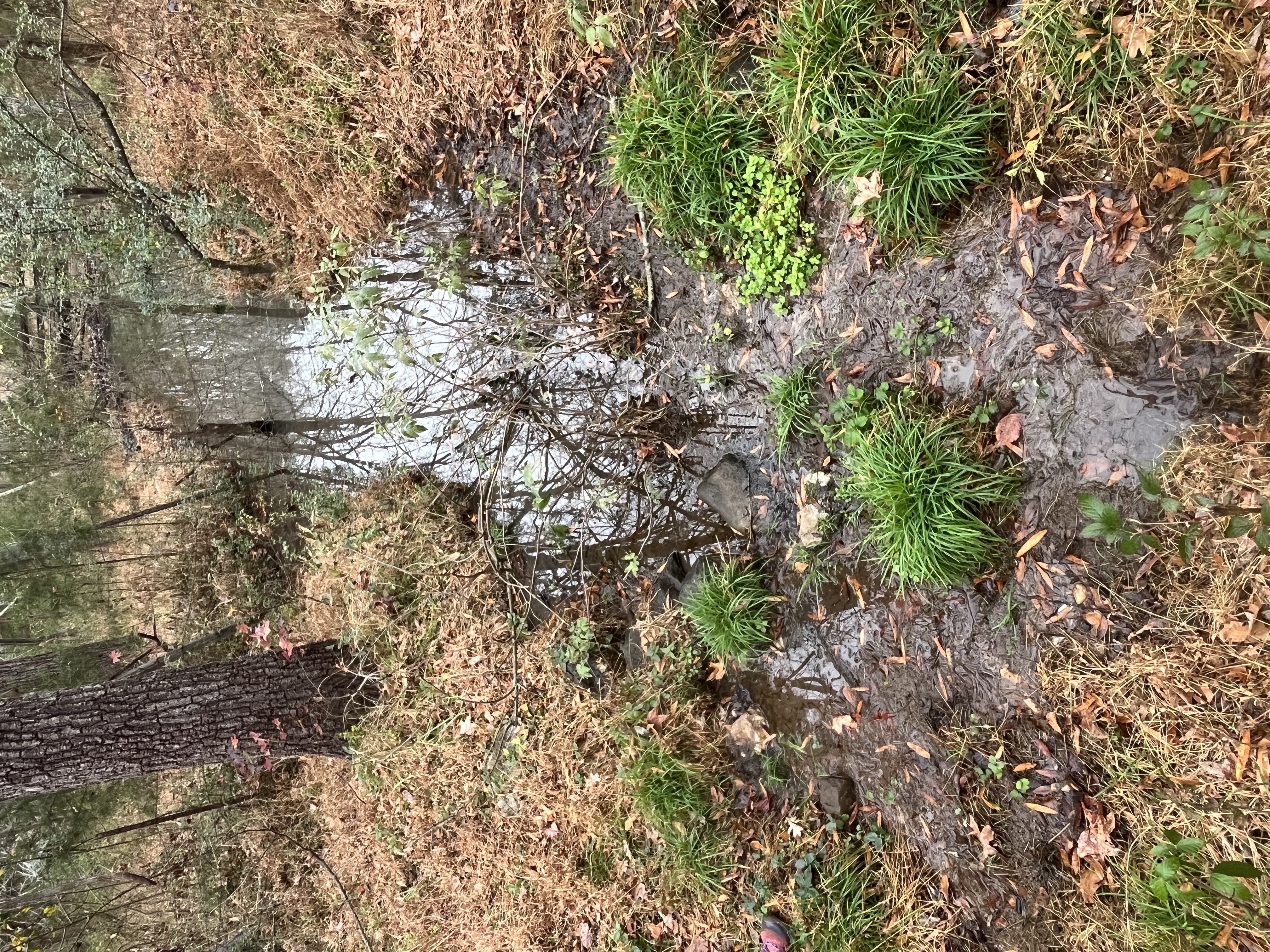
UnknownHistoric BrattonsvilleAn image of a marshy area with bright green plants surrounded by orange grass and a few tressHistoric Brattonsville presents the history of the Scots-Irish or Ulster-Scots in the South Carolina upcountry largely through preserving and interpreting the story of the Bratton family. Featuring more than 30 historic structures from the 1760s to the late 19th century, the site provides visitors with an opportunity to see the evolution of Southern culture and architecture in the South Carolina Piedmont. In 1971 the Colonel William Bratton House and the Homestead House were listed on the National Register of Historic Places. Restoration of the Homestead began in 1975 and it was opened to the public a year later. Since 1998, Historic Brattonsville has been a part of the York County Culture and Heritage Museums.


Coastal Plain


Spring NameLocationSite PhotographInformation
Willow SpringsLiving History Park, North AugustaAn image of an open grassy area with water flowing from a pipe and many stones surrounding the pipeThe park was created in 1993 and was originally the site of an abandoned waterworks for the city of North Augusta. 
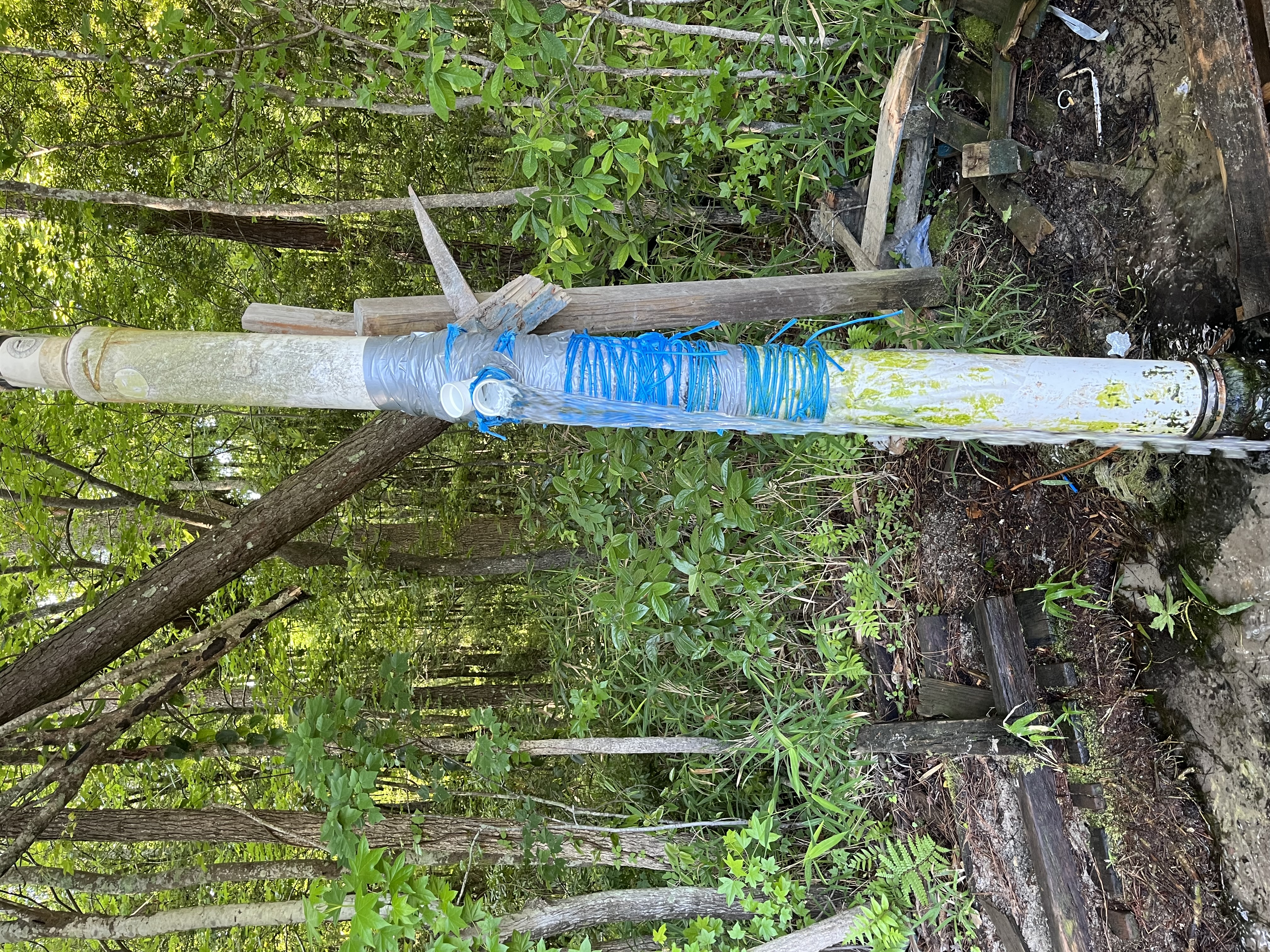
Cedar Creek Natural SpringWagenerAn image of a tall white PVC pipe with bright blue tape around it and water flowing out of an openingLocal roadside tourist attraction with a pull off area for parking. 

NameLocationSite PhotographInformation
Healing SpringsBlackvilleAn image of water flowing from pipes at Healing springs onto a concrete pad with trees in the background and water flowing out of viewHealing Springs: So named because the waters of the springs were believed to have healing properties. A recuperative camp for Confederate soldiers was located here. Today, this spring serves as a drinking water source overseen by the state and has many frequent visitors who fill containers. 

NameLocationSite PhotographInformation
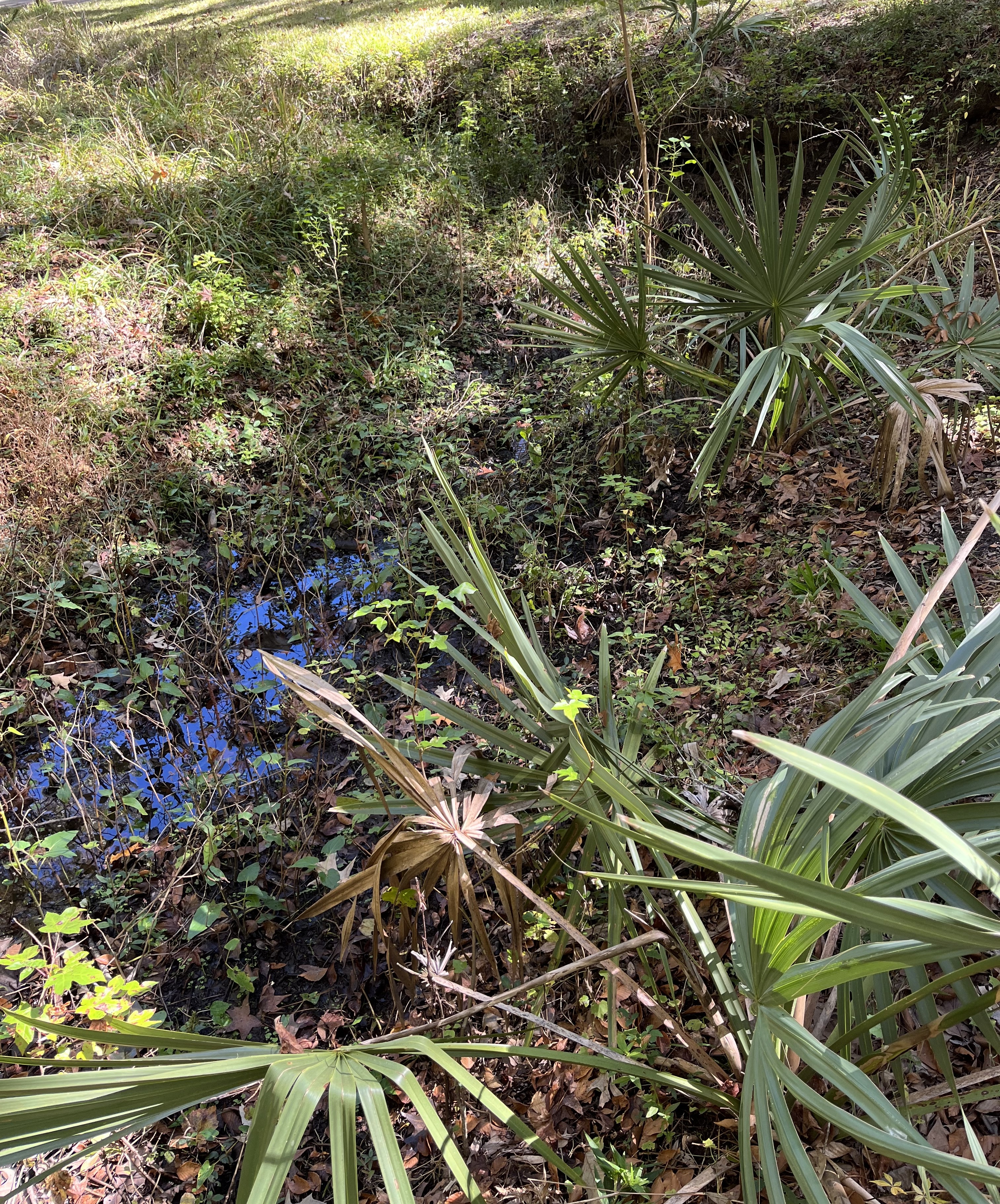
UnknownDrayton Hall Historic SiteA marshy area with many plants and leaves throughout the imageThis groundwater source used to be the main water supply for Drayton Hall - Built between 1738 and 1742, Drayton Hall is considered one of the finest examples of Colonial architecture in America, and is the only plantation house left on the Ashley River which survived the Civil War intact. Today, this spring is located near the main road to the house and appears as a large marshy area where the groundwater rises to the surface. 

NameLocationSite PhotographInformation
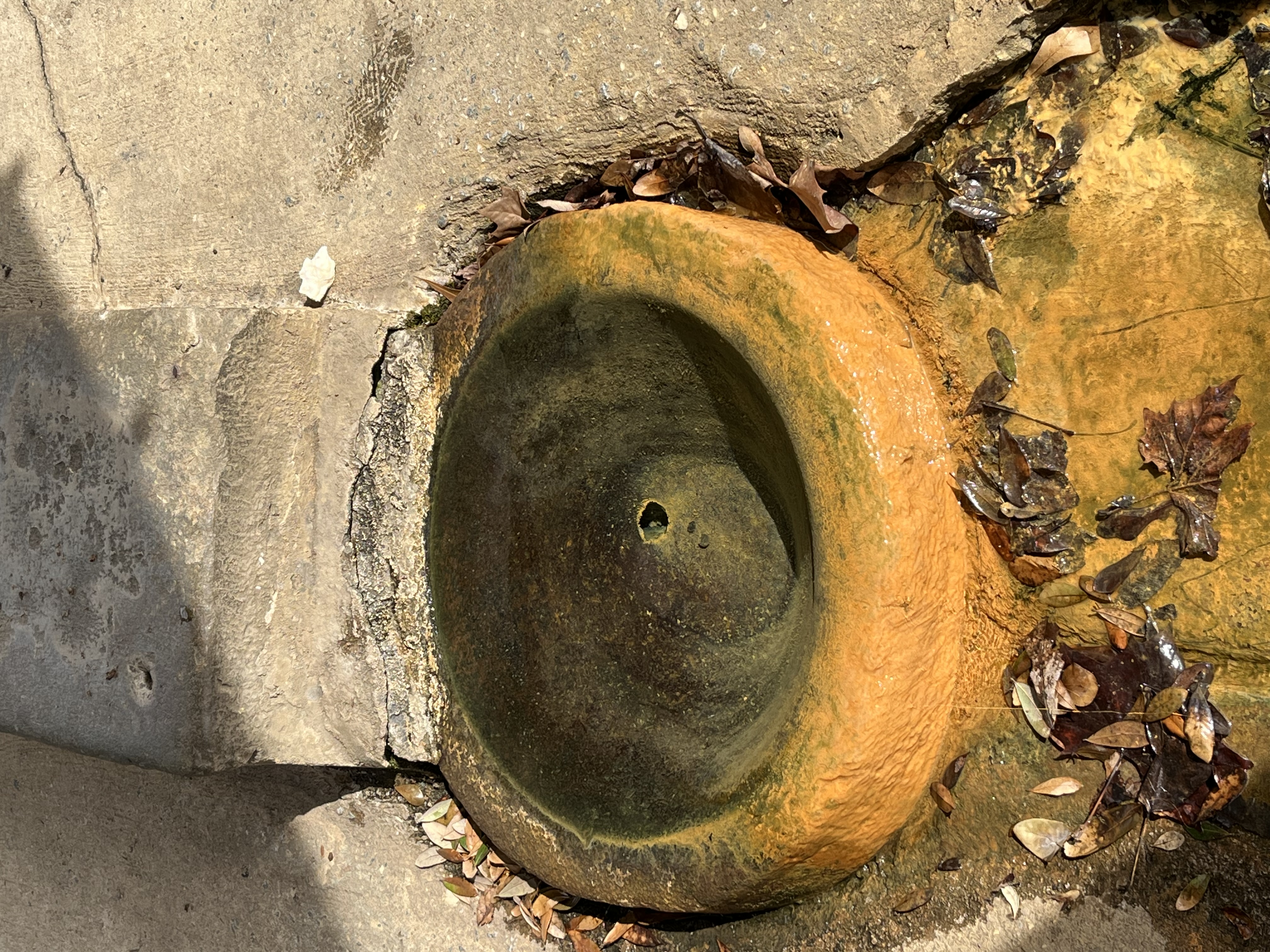
Mineral SpringsDarlingtonAn image of a low depression under a park shelter with a square area that filled with water and orange bacteria at the bottomOn July 17, 1819, this spring and the surrounding lands were purchased from Henry King by the Darlington Mineral Springs Company, intent upon developing the site as a beneficial spa.
The enterprise was abandoned soon after the death of the chief promoter. On May 5, 1846, a society was organized for "mutual improvement in agriculture and to promote the planting interest of the country." Most of the annual meetings since that time were held at this spring. The first officers were W. E. James, Rev. J. M. Timmons, Isaac D. Wilson, Robert Rogers, and Rev. Robert Campbell. Today, this spring can be found under a shelter with excellent flow from an attached pipe feeding into a nearby creek. 

NameLocationSite PhotographInformation
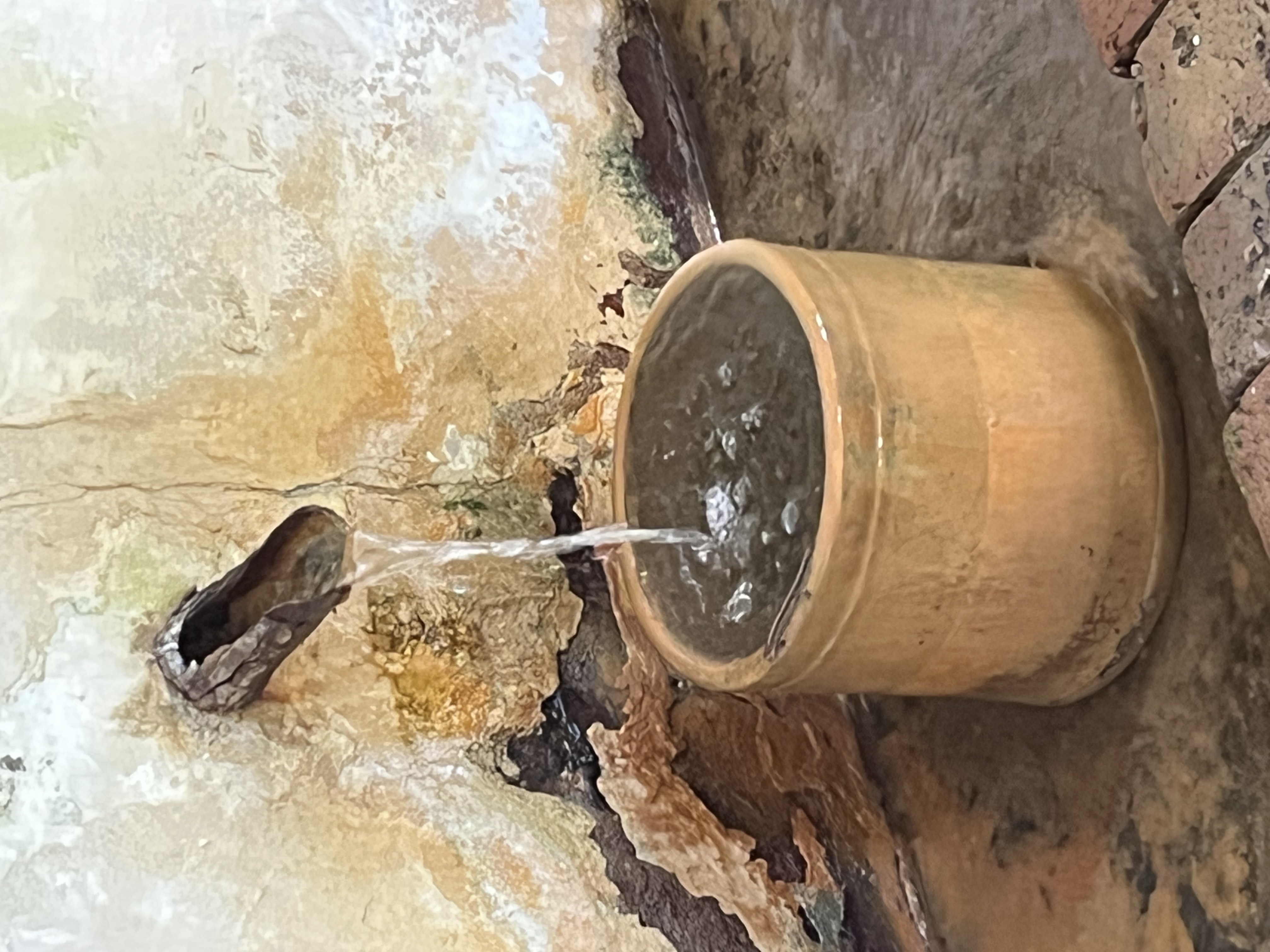
Springhouse SpringCharlestonAn image of a spigot with water flowing into a round basin that is sitting in some shallow water within a brick floorThe Spring House, c 1741, is the oldest intact surviving 18th-century structure at Middleton Place. Built by enslaved Africans, the lower level of the building was designed to provide cool storage for dairy products and other foods in the days before mechanical refrigeration. In 1850, Williams Middleton had a second floor with a vaulted ceiling added to the building.
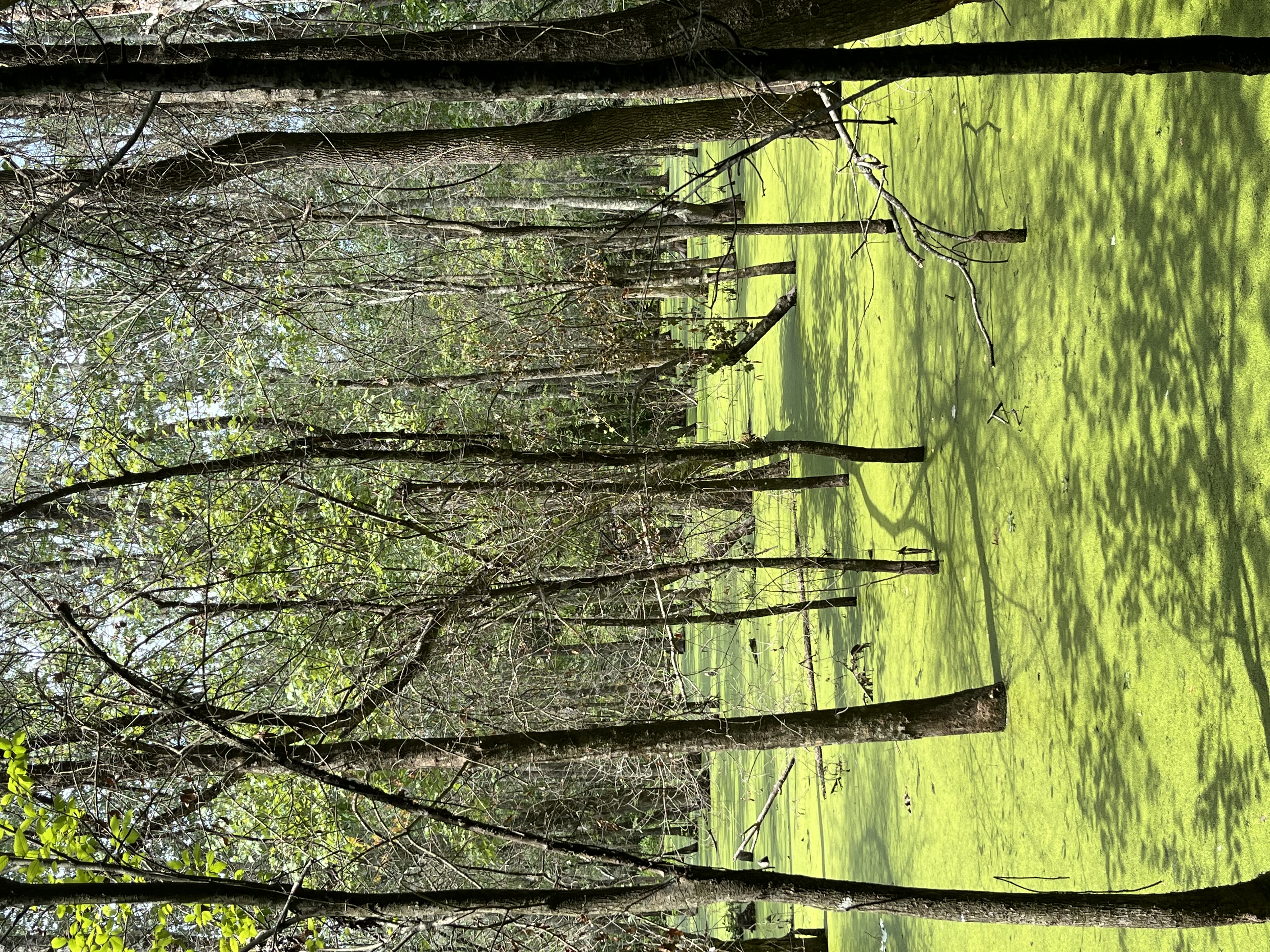
Blue SpringSt. GeorgeA marshy area with many trees ans a bright green plant covering the water filling the areaLocated right next to the public road, this spring is marshy. Historically the spring served as a source of drinking water for the local community. 

NameLocationSite PhotographInformation
UnknownGoodale State ParkAn image of a marshy area nestled in overgrown brown grass with some bright green leaves in viewThis spring feeds into a pond formerly known as Adams Grist Mill Pond and was supposedly fed by more than 40 springs, now under water. Very popular in earlier times, was the only pond that did not go dry during droughts. Nearby signs warn of alligators in the area.
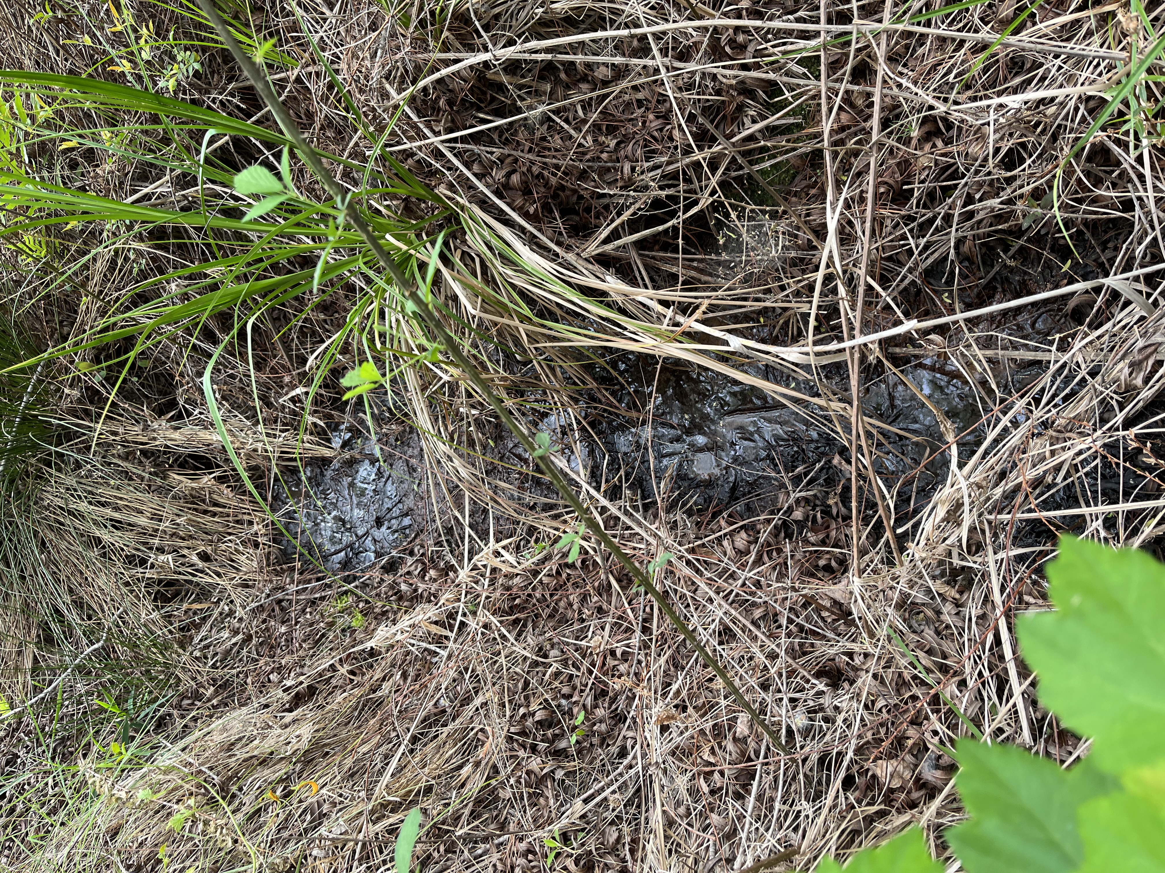
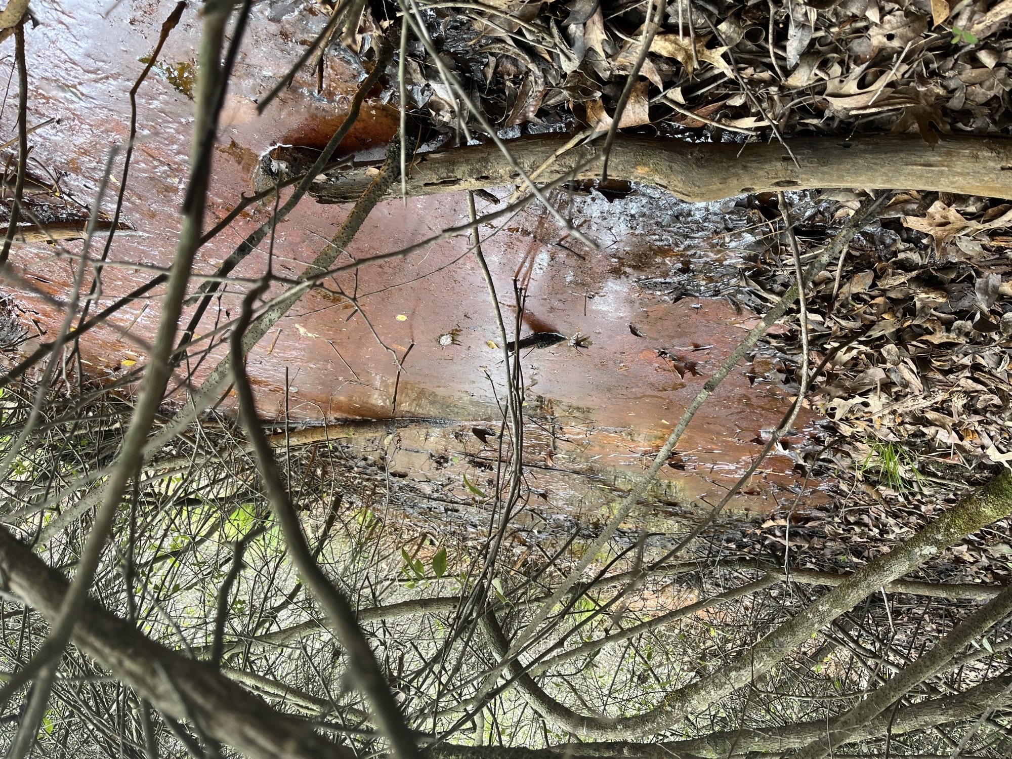
UnknownGoodale State ParkAn image of an overgrown area with bright orange colored water surrounded by many dead branchesSpringhead area is very overgrown and difficult to approach due to vegetation, but the spring continually bubbles away. Lots of iron-oxidizing bacteria present. 

NameLocationSite PhotographInformation
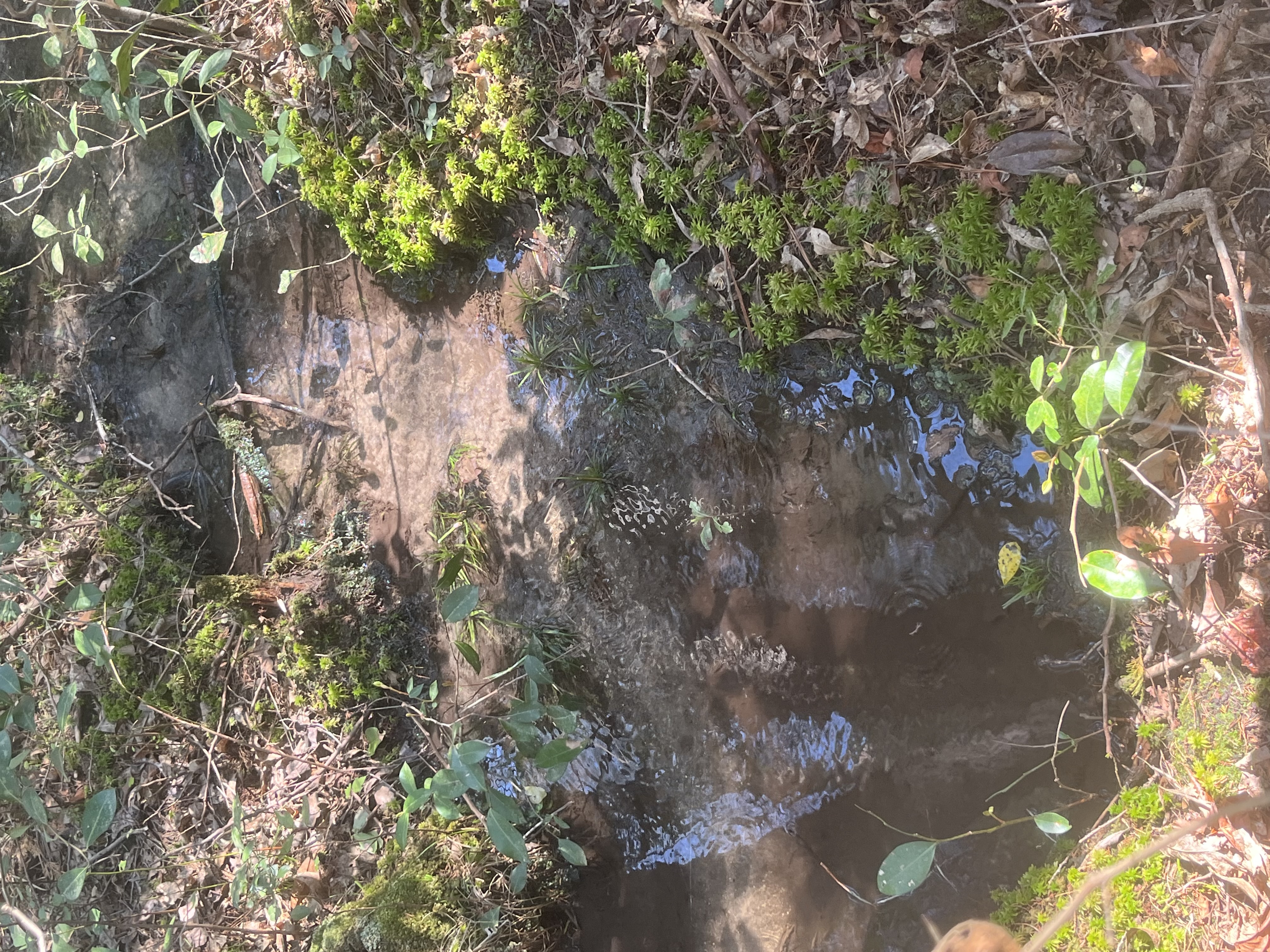
UnknownShealys Pond Heritage PreserveAn image of a clear puddle in a forest surrounded by green plants and orange leavesProperty is owned by SCDNR with multiple springheads feeding into Shealys Pond. Rare pitcher plants and sundews located in the area. 

NameLocationSite PhotographInformation
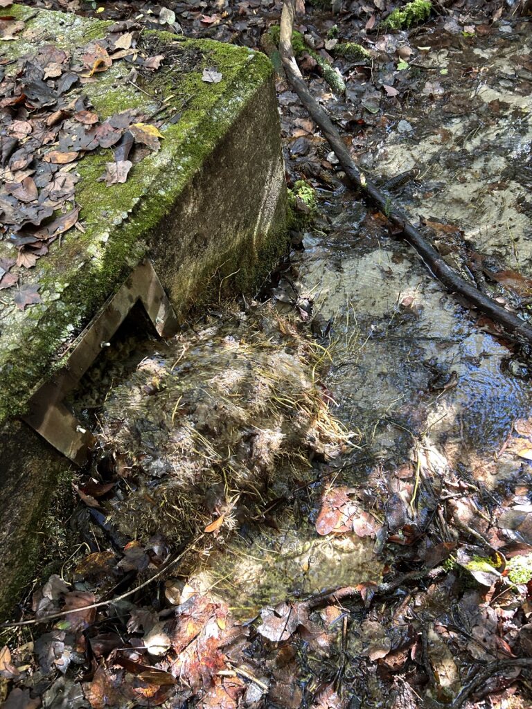
UnknownSesquicentennial State ParkAn image of a concrete structure with a square opening where water flows into a shallow creek with many orange leaves nearbySpring flows from ground near the original springhouse. Area is rather overgrown and not easily spotted from the trail. 

NameLocationSite PhotographInformation
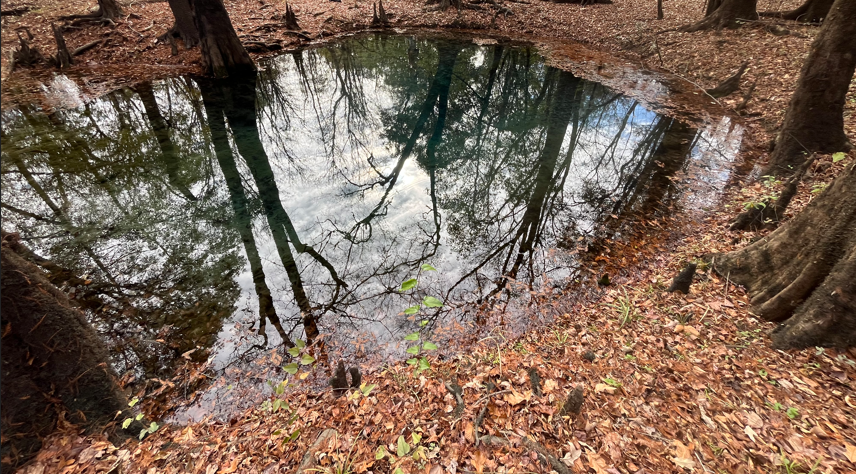
The Blue HoleWee Tee State ForestAn image of a blue colored pond with bright orange leaves surrounding it and the reflection of trees apparent in the waterOne of many springs called the Blue Hole in the same area. This spring has a vivid blue color due to its mineral content. 


Outreach Materials

Springs Handout

Coloring Pages with Reference Images


For additional information or if you would like us to sample your spring for general water quality chemistry, please contact Alexis Modzelesky at alexis.modzelesky@des.sc.gov.  

Tags
Hydrology
Bureau of Water